My first trekking adventure - the West Coast Trail in Canada
In preparation for my trip through Canada, I come across the West Coast Trail on Vancouver Island. The pictures look so impressive that the trail makes it on my itinerary, although I have no experience in hiking with a backpack and tent. The description on Wikipedia as one of the “- depending on the weather – most challenging trekking trails in Canada” makes me curious and I get a hiking permit for one of the last start dates in September. That’s how I end up as a complete trekking beginner on this 75-kilometer/47-mile trail between Port Renfrew/Gordon River in the south and Pachena Bay in the north on the west coast of Vancouver Island. The route takes me through muddy dense forest with fallen trees and ramshackle logging trails, over 100 log ladders, and along beautiful stretches of coastline. It’s the first time I’ve enjoyed remoteness for several days in a place that can only be reached on foot or by boat.
Section Zero
One day before my start date, I make my way to Port Renfrew, where my northbound hike is to begin the next morning. I’m on a side trip at Lake Cowichan in central Vancouver Island when I spot a road sign for Port Renfrew. Instead of listening to Google Maps and driving along the coast via Victoria, I decide to follow the road sign. For several hours I torture myself over a sand and gravel road full of potholes through the middle of nowhere. I try to spare the brand-new rental car as many potholes and bumps as possible, but the virgin shine of the limousine is definitely gone after this ride. When I reach Port Renfrew, I drive briefly through the town to familiarize myself for the arrival the next morning. Since I haven’t had a shower in a while and I don’t want to go in the wilderness without non-greasy hair, the search for a place to sleep gets more difficult than I thought. I find neither in the village nor in the surrounding area an affordable accommodation. So I drive 75 kilometers out of Port Renfrew to spend the night at a campground in Sooke. In retrospect, that was a pretty stupid and unnecessary move.
Section One: Kilometers 1 to 5
The alarm clock rings early for the morning shower and the return trip to Port Renfrew, but apparently not early enough. Everything takes longer than expected and the planned relaxed arrival turns into a rush to the obligatory briefing event. Despite my terrific idea of the previous day to explore Port Renfrew and the starting point of the hike in advance, I get lost and arrive 10 minutes late at the lecture. In opposite to me, the other hikers sit relaxed in their seats and follow the briefing. I am already sweating before the start. After we are educated about the tide table and how to deal with wildlife, among other things, we have 10 minutes to gather at a small boat that takes us to the starting point. There is just enough time to stuff my gear into my backpack. Only the huge sleeping bag, which I got as cheap as possible at Canadian Tire, won’t fit inside the backpack. It ends up dangling on the outside of my backpack and is the perfect representation of my lack of experience and preparation.
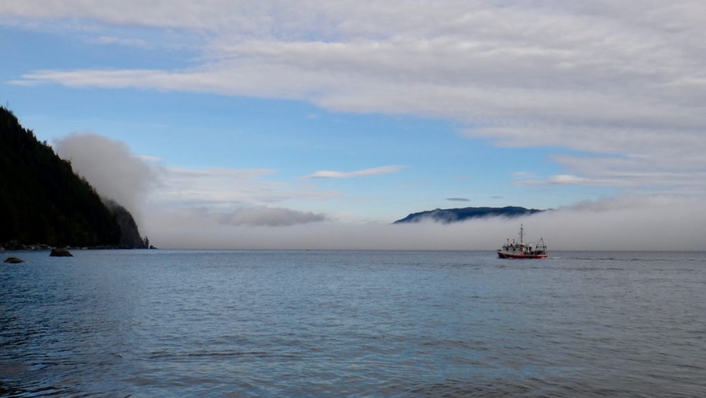
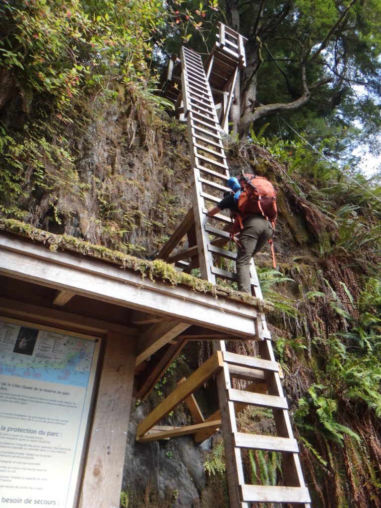
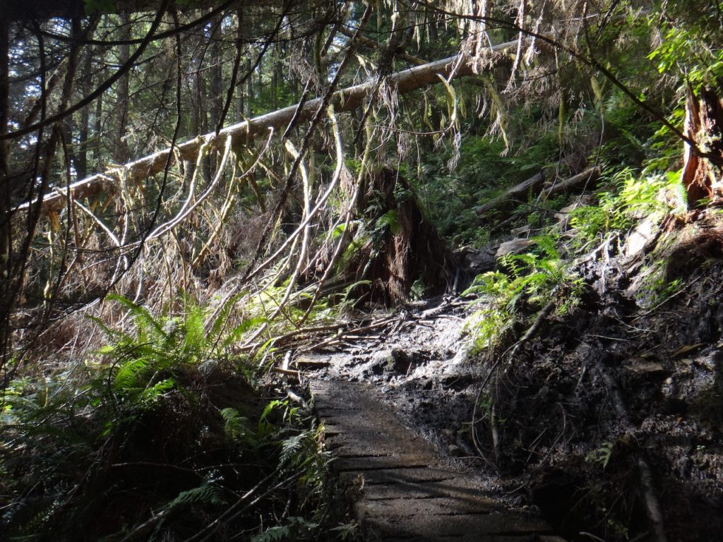
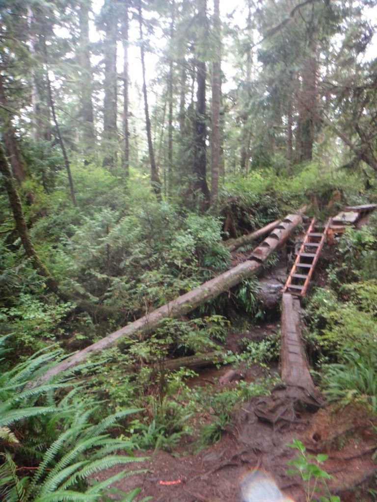
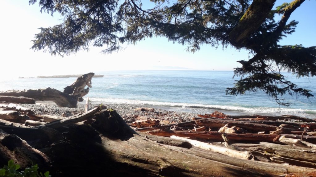
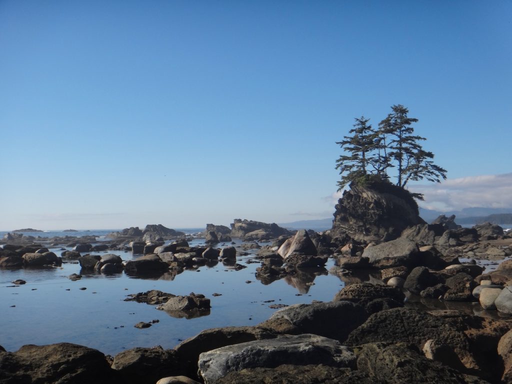
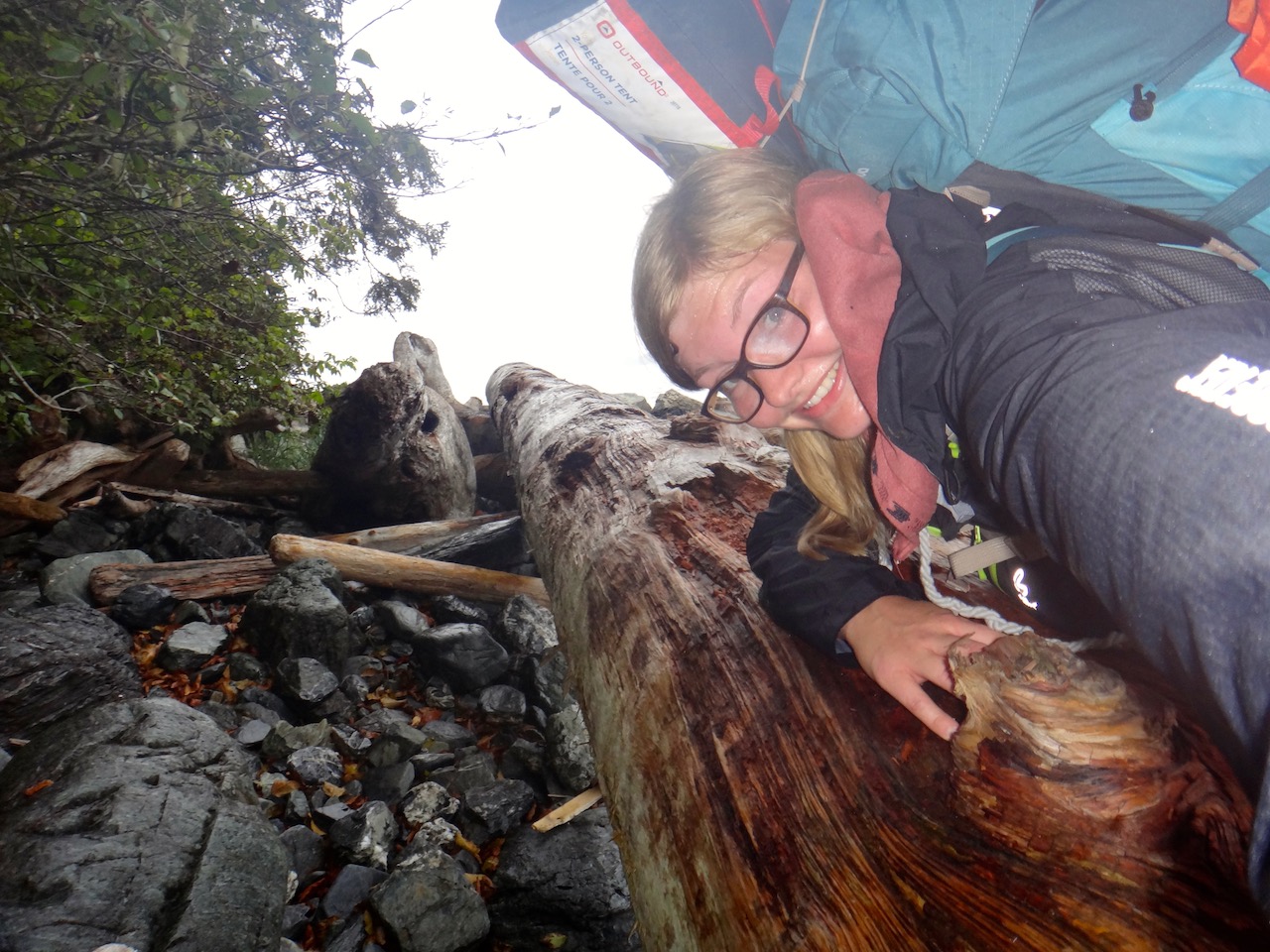
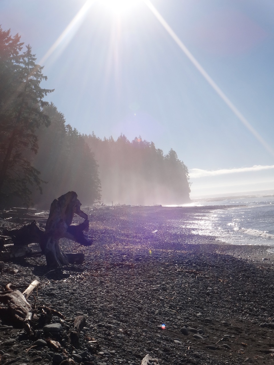
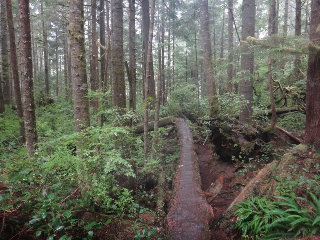
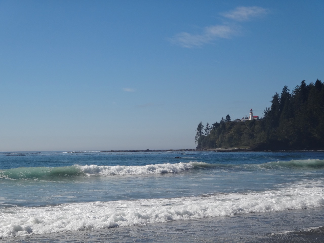
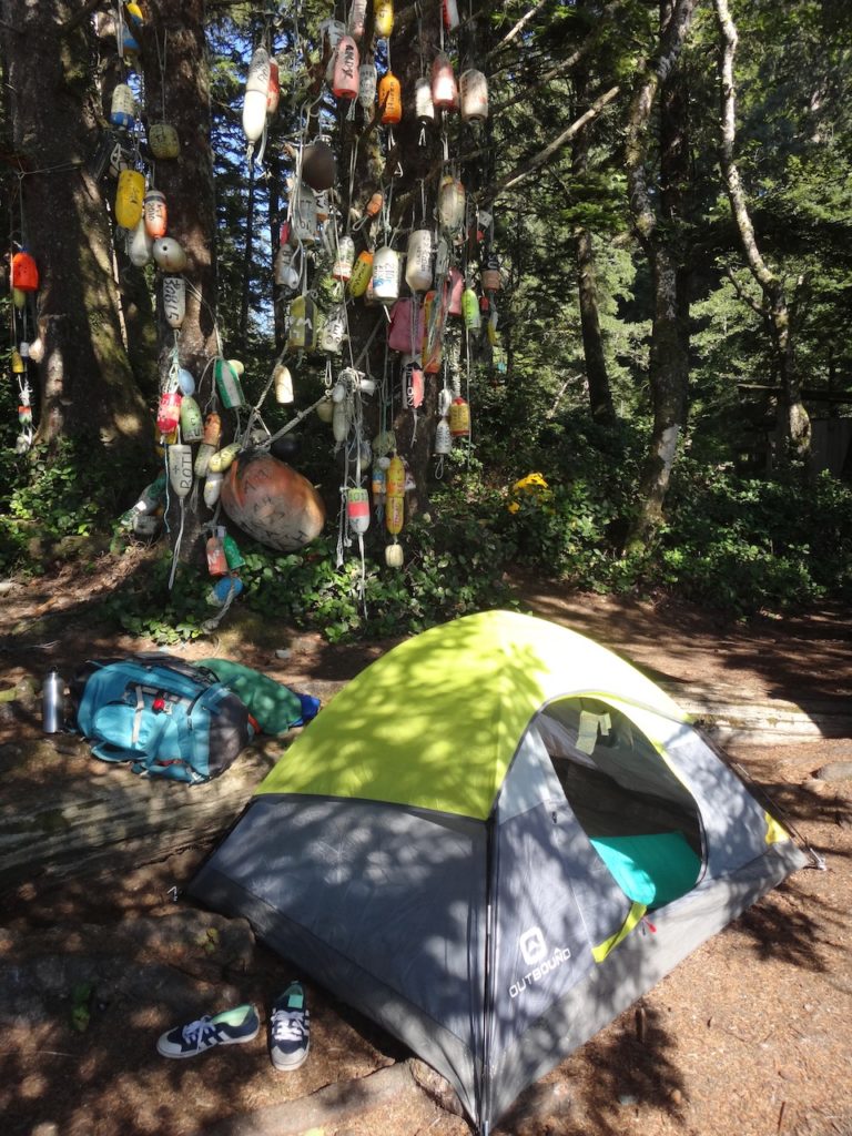
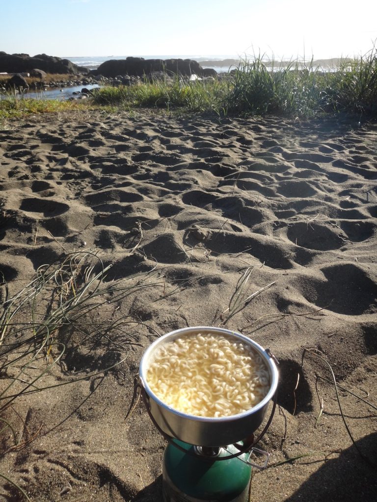
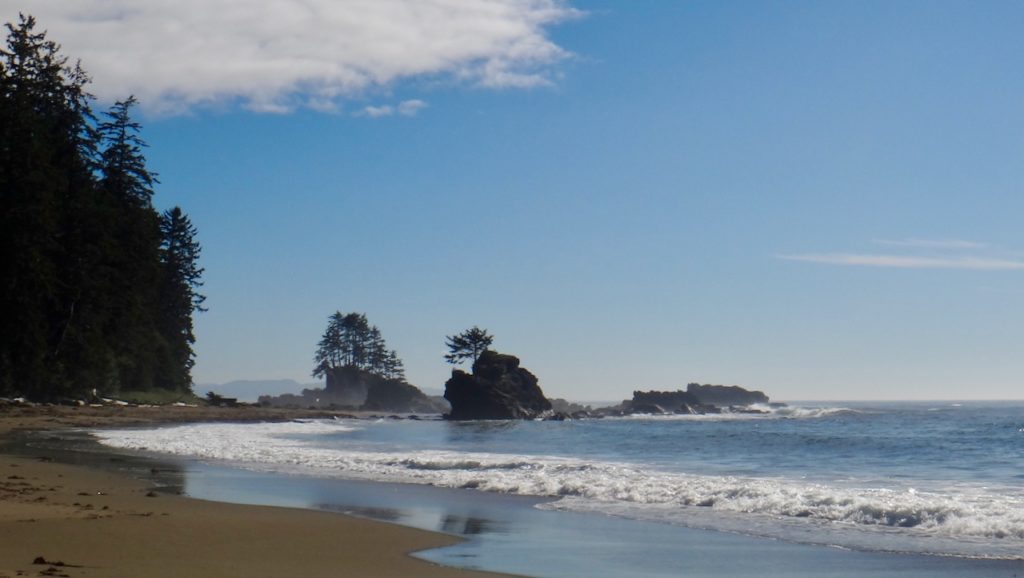
I’m in the boat with several hikers and we’re launched into the wilderness on the other side of the Gordon River. The trail begins as described with a few wooden ladders, of which many more await us over the next few days. In the forest, the trail is steadily uphill for the first few miles. Climbing up the rocks and roots is challenging for me and my bulging backpack, but not impossible. As a reward, 4 hours and 6 km later there is the first view of the sea and the camping site for this night at Thrasher Cove. I pitch my tent between driftwood right on the beach. When I was shopping at Canadian Tire, my choice fell on this tent because it was significantly cheaper than all the others. Now it turns out that this price difference was not without reason. It’s a tent for adolescents that I can fit into not straight, but at least diagonally. By the way, it is not really waterproof either, which is why I carry an extra rain tarp with me. My dinner today, like all the following ones, consists of a pack of ramen noodles. To prevent boredom, there is alternately the flavor of chicken or beef.
Section Two: Kilometers 6 to 17
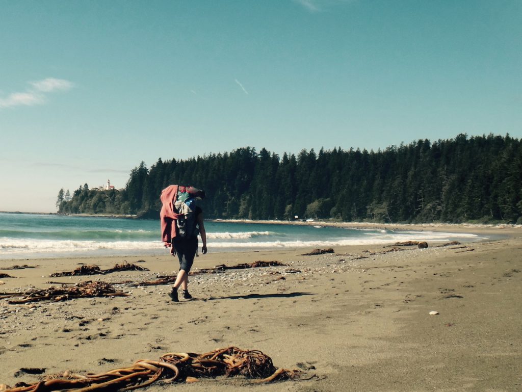
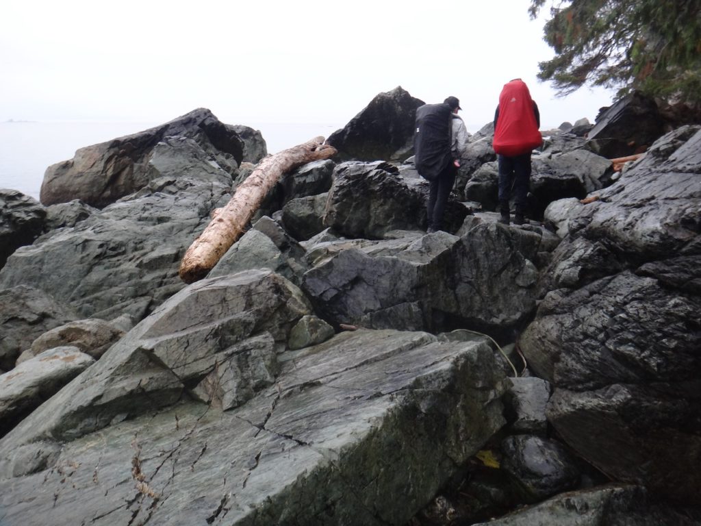
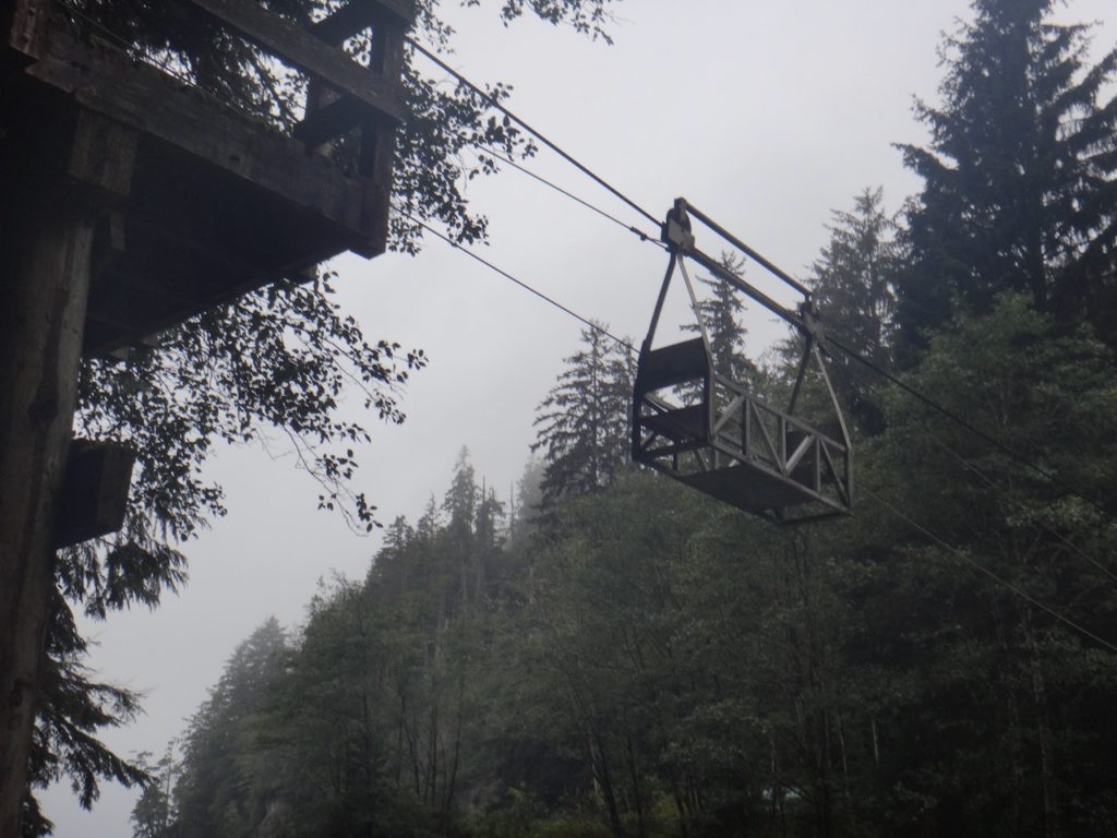
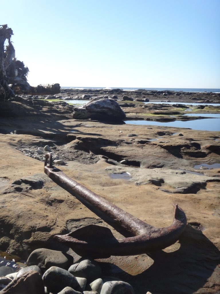
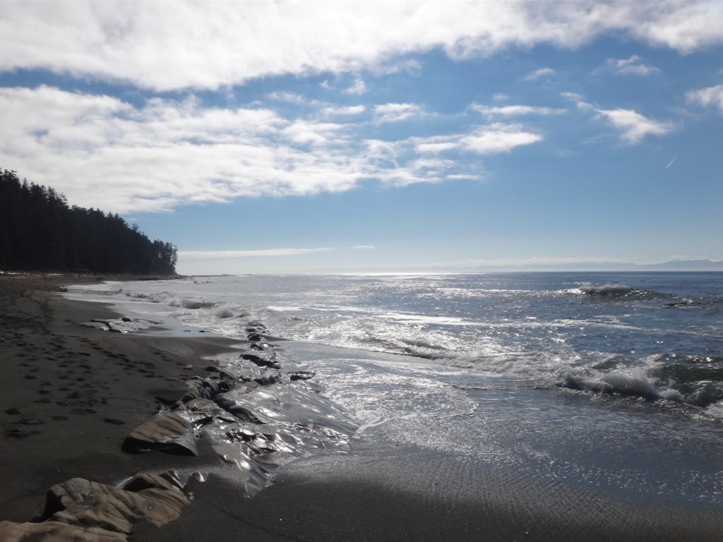
It is predicted to be a rainy day so it is better to walk on the beach than through the muddy forest. Because of the tides the alarm clock rings early in the dark and I start together with other hikers the section along the coast at 6:30 am. First we climb for quite a while over slippery rocks and driftwood. Instead of going through a tunnel filled with water, I explore a path over a ledge with another hiker. With a rope it’s easy to pull ourselves up onto the rock. Unfortunately, the path leads nowhere and we have to turn back. In the process, I slip on the wet rock and land a meter below with both feet in the sea. My tent falls from the backpack and also lands in the water. Now, with already wet feet, I have no problem to walk through the water in the tunnel and all other water barriers on this day. In the course of the day many ladders and my first cable car await me, with which I pull myself sitting in the wagon to the other side of a river. At 5 p.m. I reach the camp at Cullite Cove and realize with relief that I have the most difficult kilometers of the trail behind me. I make a note in my travel journal that for the next few kilometers I want to work on looking up more when walking because I’ve already run into a log twice. I stink, everything is dirty and wet, but at the same time everything is just fine.
Section Three: Kilometers 18 to 33
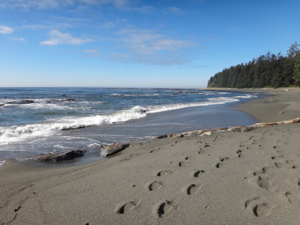
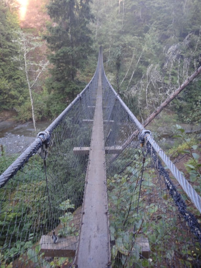
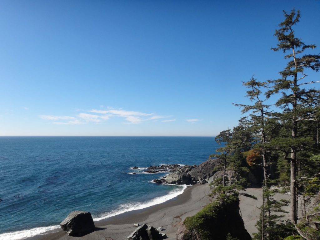
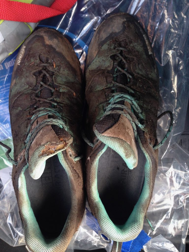
I am very motivated and leave the camp at 7 am as the very first. After a cable car, it goes up several ladders into the forest. A few hours and a suspension bridge later, the trail leads along the beach in the sunshine for the rest of the day. Today’s camp at Cribs Creek is also on the beach, where I sit at the campfire in the evening with other hikers and burn off my shoe tongues while trying to dry my shoes.
Section Four: Kilometers 34 to 50
After the first kilometers along the beach, we climb up ladders into the forest just in time for the high tide. Since we are already having the second rain-free day in a row, we are not hiking through “regular” mud today, but “good”, less watery, mud. At Nitinaht Lake we have to take a ferry to the other side of the shore and at the ferry station we have food and beer. At Tsusiat Falls I set up my camp, take a shower under the waterfalls and again sit around the campfire in the evening together with the other hikers.
Section Five: Kilometers 51 to 62
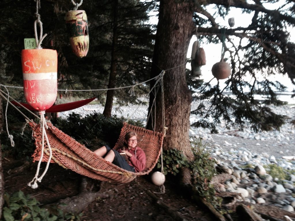
Today again there is not a cloud in the sky and we are walking in beautiful sunshine along the beach and through the forest. Sunshine is not a given here, especially at this time of year, so every dry day is a small miracle and reason to celebrate. One cable car and 12 kilometers later, today’s section is already done at lunchtime. That gives me enough time for an extensive nap in a hammock. I can celebrate the last evening on trail with a pack of Maggi noodles, which I receive as a gift from another hiker out of pity for my monotonous ramen diet.
Section Six: Kilometers 63 to 75
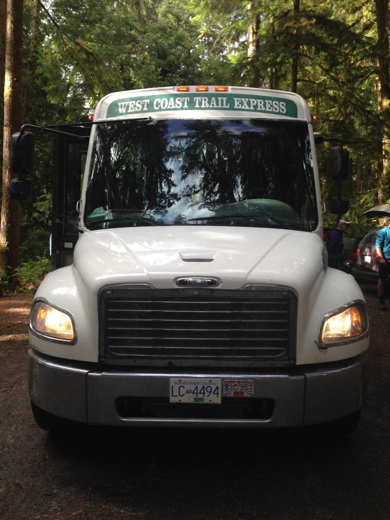
The next morning the rain starts and that’s okay because there are only a few more miles to the end of the trail. The day starts early in the morning to make sure I don’t miss the shuttle back to my rental car in Port Renfrew. The first kilometers in the dark with headlamp through mud and rain prepare a whole new hiking experience. In Pachena Beach, I happily board the West Coast Trail Express back to Port Renfrew. I am very grateful to have spent these last days out here and look forward to a shower and a real bed.