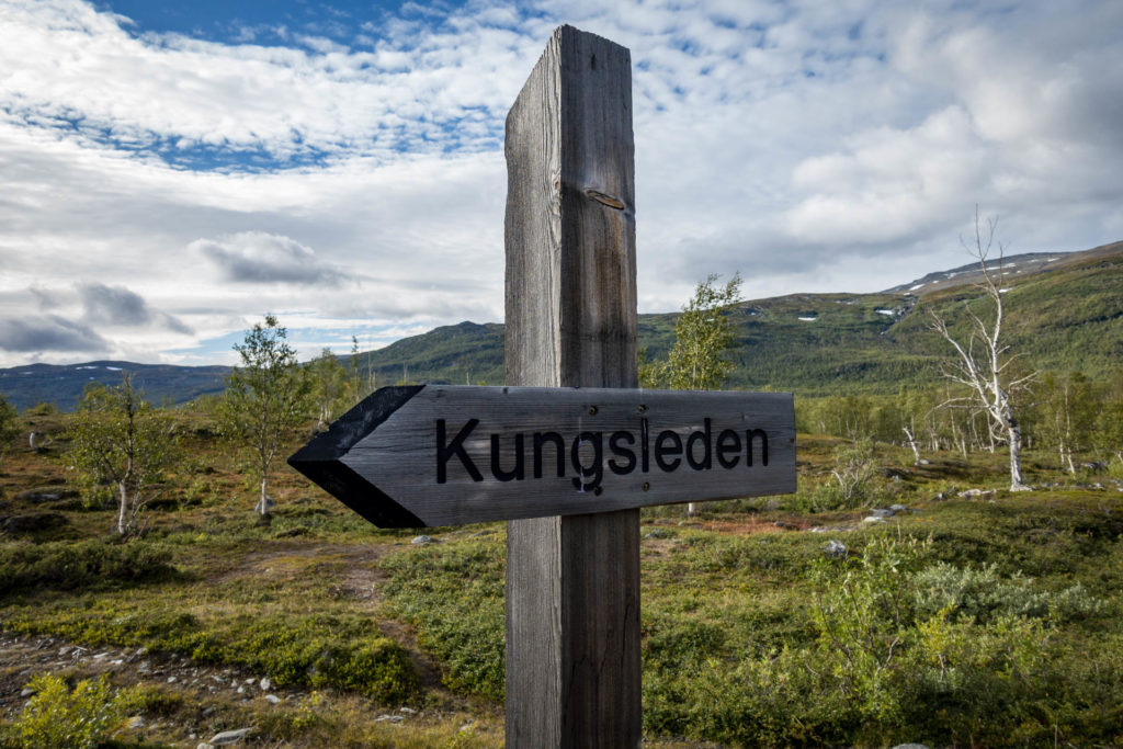
The northern part of the northern Kungsleden or also the Dag Hammarskjöldsleden
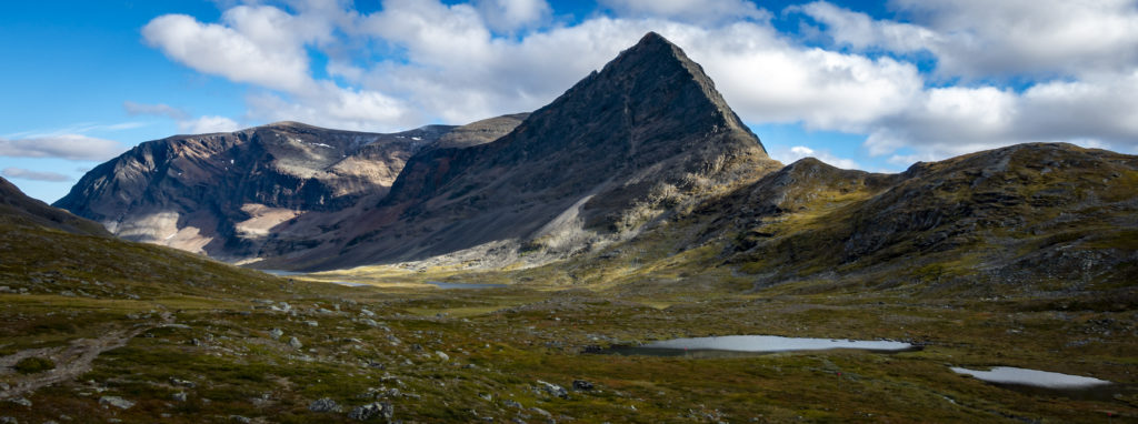
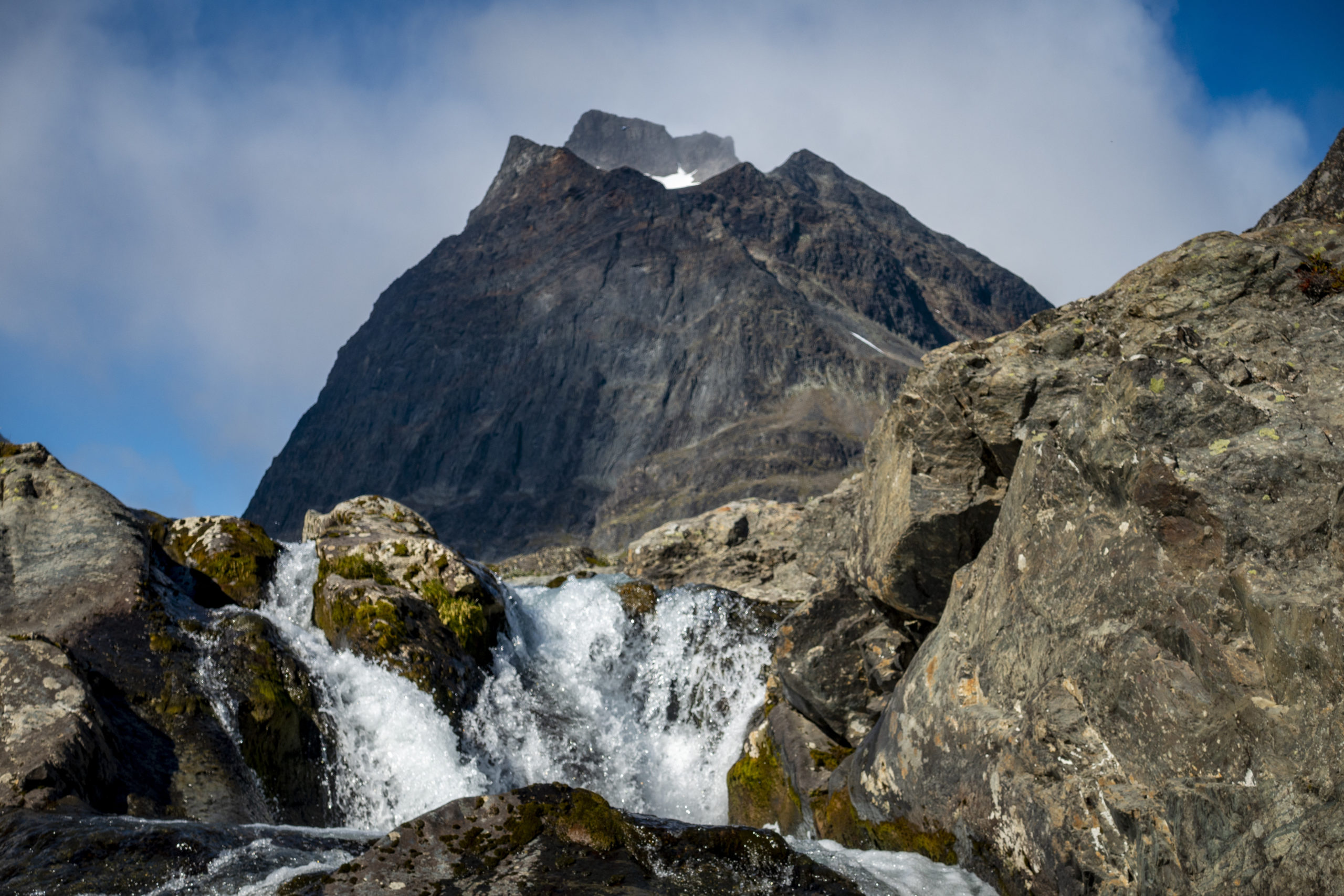
During my trip through Sweden, the Kungsleden – the King’s Path – was not to be missed. The northern Kungsleden is 425 km long and leads from Hemavan in the south to Abisko in the north. I decided to hike the northern part of the northern Kungsleden, which is 105 km from Nikkaluokta to Abisko. The “feeder” from Nikkaluokta led me first to the Kebnekaise mountain range before I got to the actual Kungsleden in Singi. The Kebnekaise is with 2097 m the highest mountain in Sweden (north summit). On my way, I climbed the glaciated southern peak of Kebnekaise, which has only been smaller than the rocky northern peak since 2018 due to global warming.
The hike I did between Nikkaluokta and Abisko does not only follow the Kungsleden for a large part, but also.a pilgrims’ path, named Dag Hammarskjöldsleden. A sign at the starting point in Nikkaluokta reads as follows:
„A pilgrims` walk can be summed up in just a few words: Slowness, freedom, simplicity and silence, insouciance, sharing and spirituality.“
And this is exactly what I was privileged to feel and experience on my walk through the beautiful nature of Lapland.
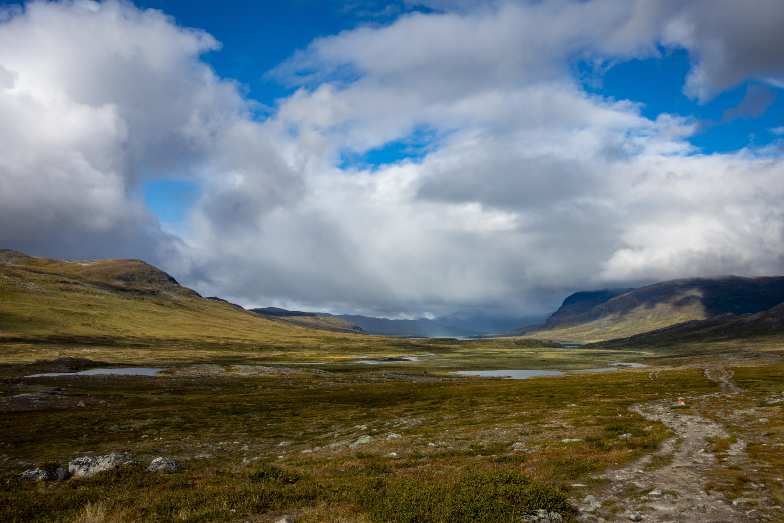
Arrival and day 1 – Nikkaluokta to Ladtjojaure (6 km)
On August 25, 2020 I took a bus from Luleå to Kiruna and from there to Nikkaluokta. In the meantime I thought about giving my knees a bit of a longer rest in Kiruna after the High Coast Trail. Kiruna is the northernmost town in Sweden and is located directly on an iron ore mine. In fact, the whole town has to rebuild itself just a few kilometers away due to this mine. Despite this interesting and crazy fact, the mountain peaks in sight seemed to mock me in temptation. So I finally found myself in Nikkaluokta at 16:30 the same day at the start of my hike.
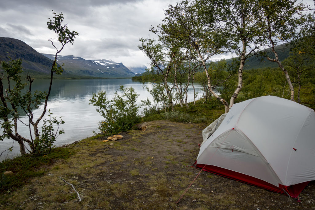
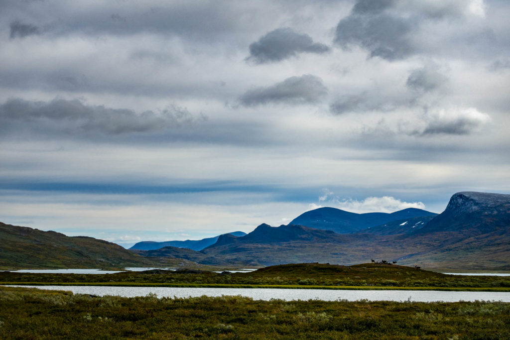
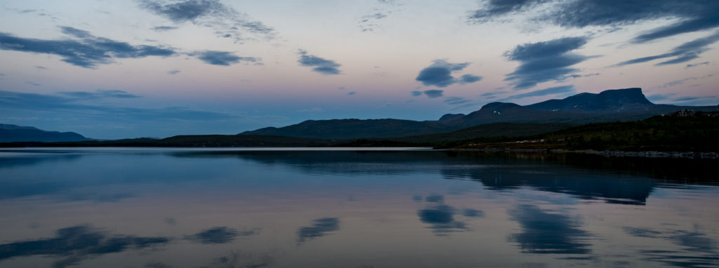
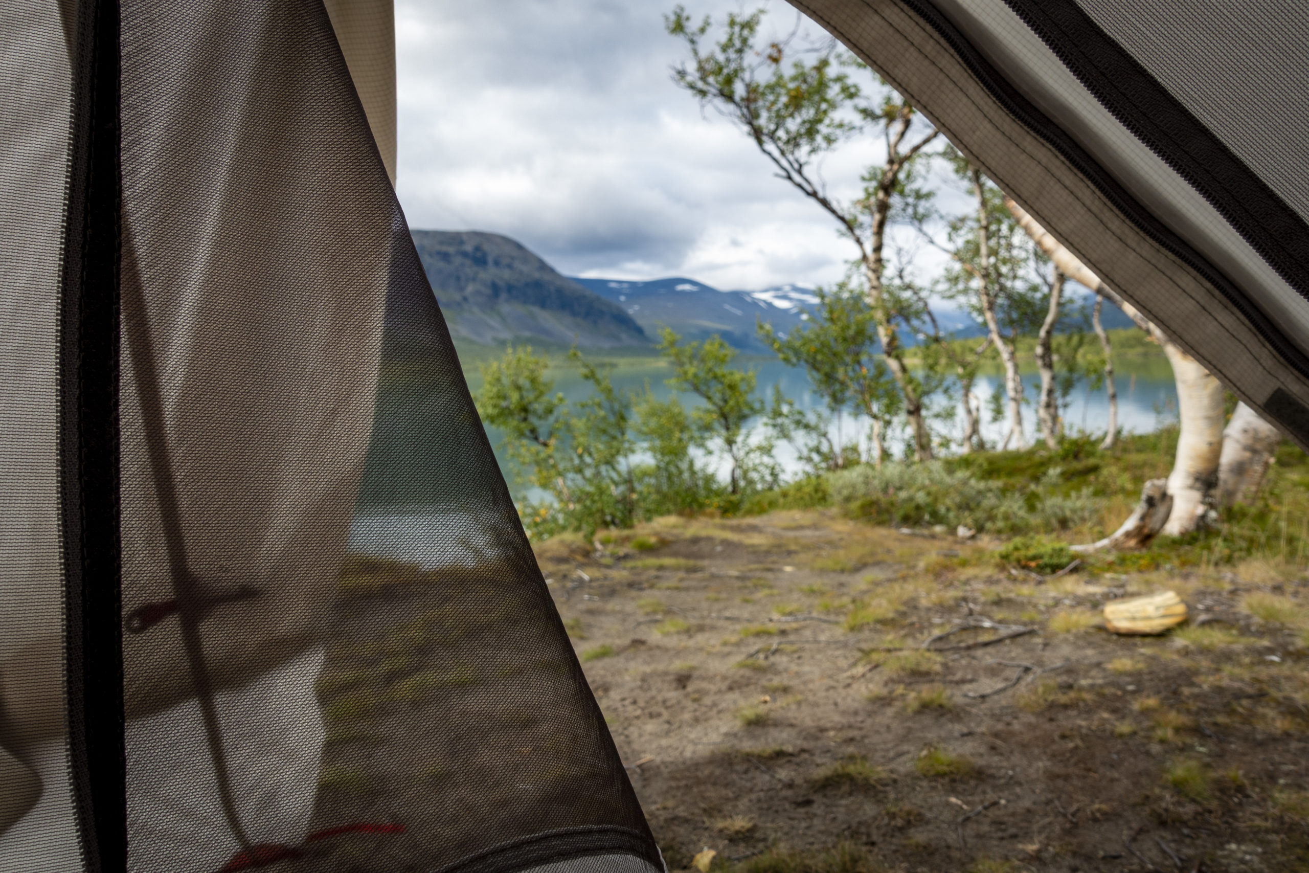
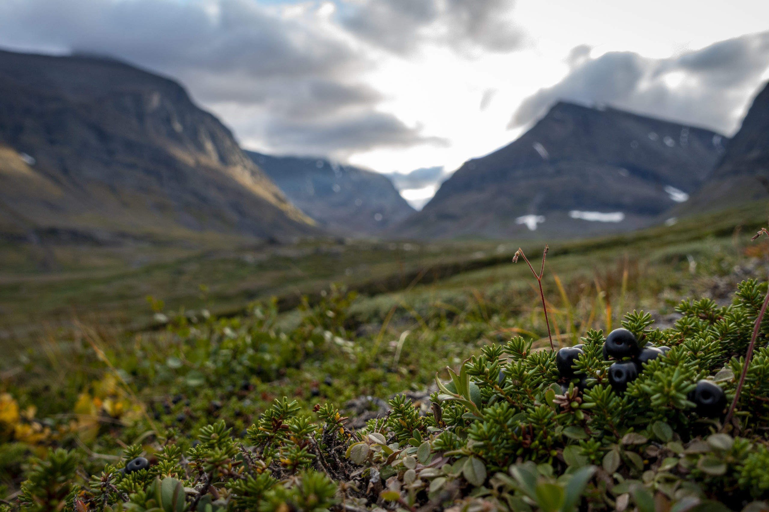
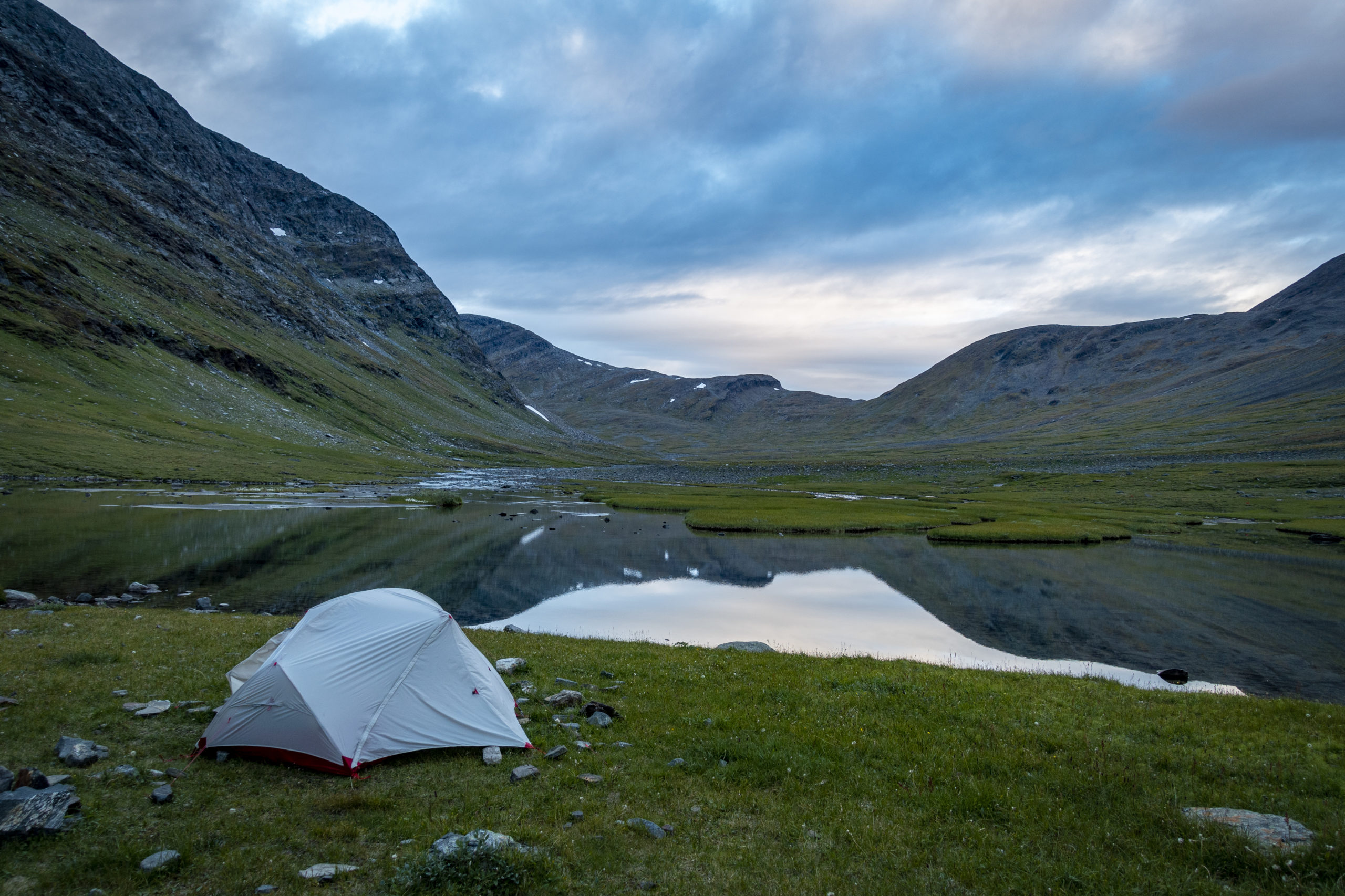
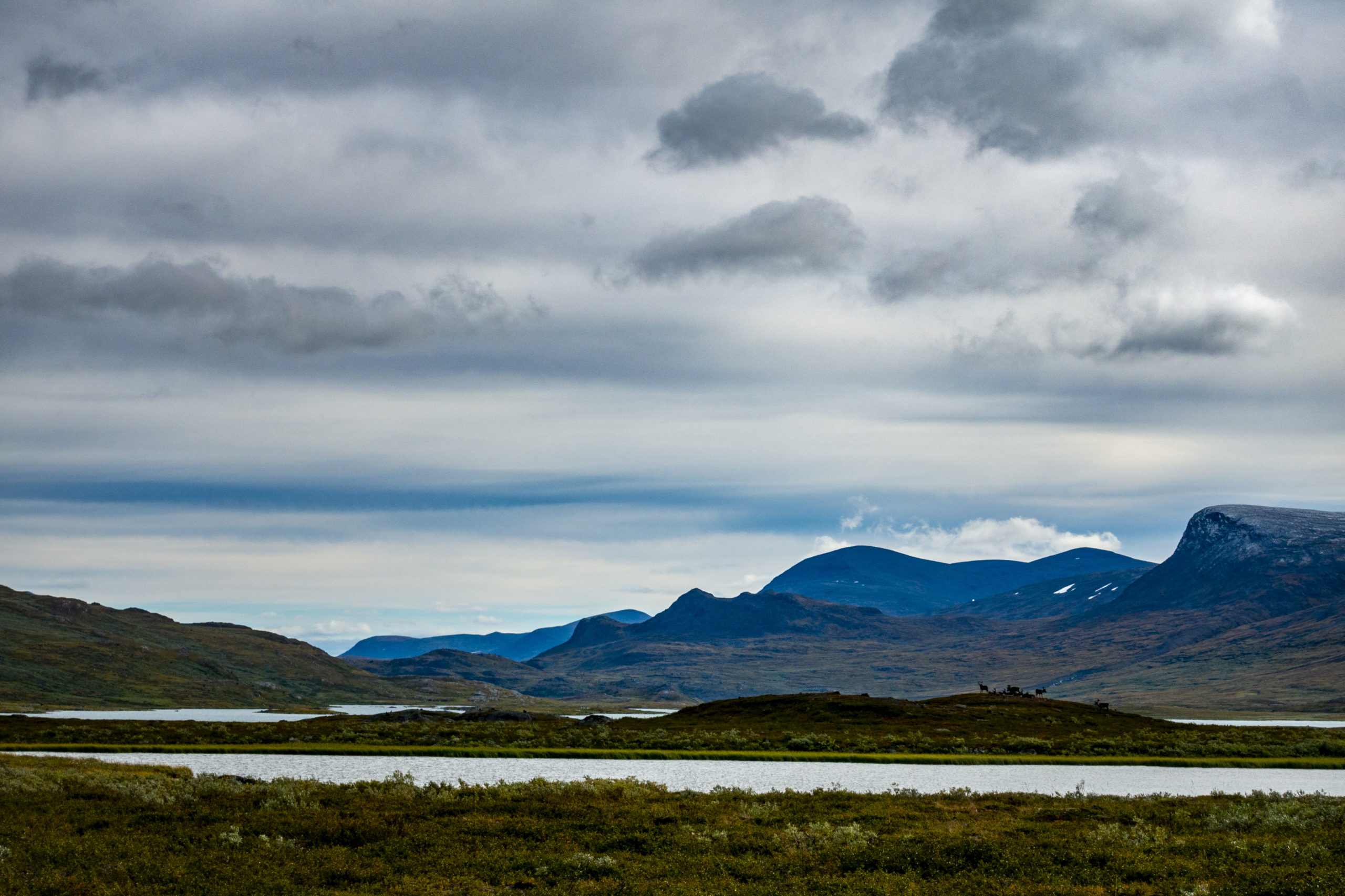
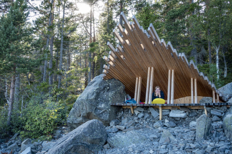
My water supply was filled up, my backpack was stuffed with asian noodles and protein bars, and I felt clean (perhabs a bit too clean) after one week of civilization as well… so off I went. I didn’t even take the time to stow my daypack away in my other pack. So this afternoon I went on the first few kilometers of the hike with a double load: my travel backpack in the back, and my daypack in the front. The way led on a gravel road or a very wide hiking trail through a birch forest. Behind the ferry station at the lake Ladtjojaure (with the ferry you would miss 6 km of hiking for 30 €) I set up my camp between several deer droppings. From there I had a great view over the Ladtjojaure lake and the Kebnekaise massif.
Day 2 – Ladtjojaure to Kebnekaise Fjällstation (15 km)
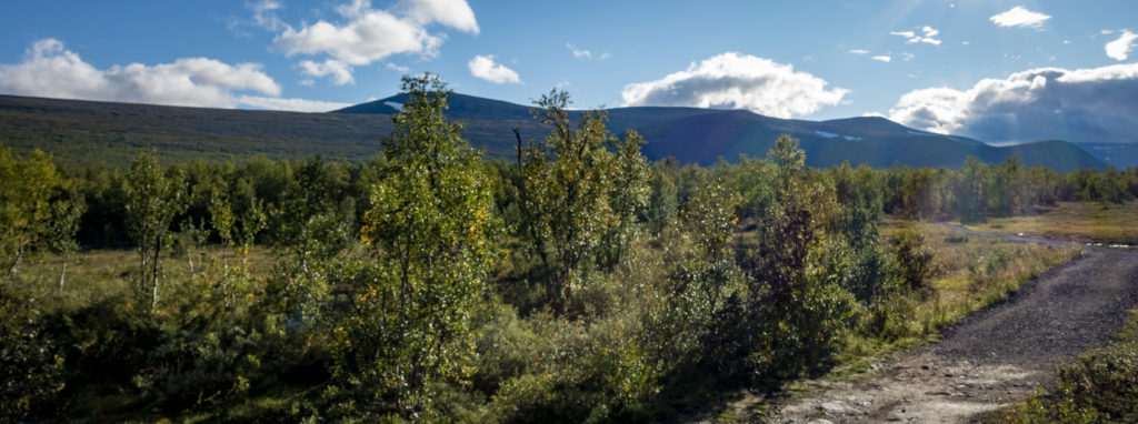
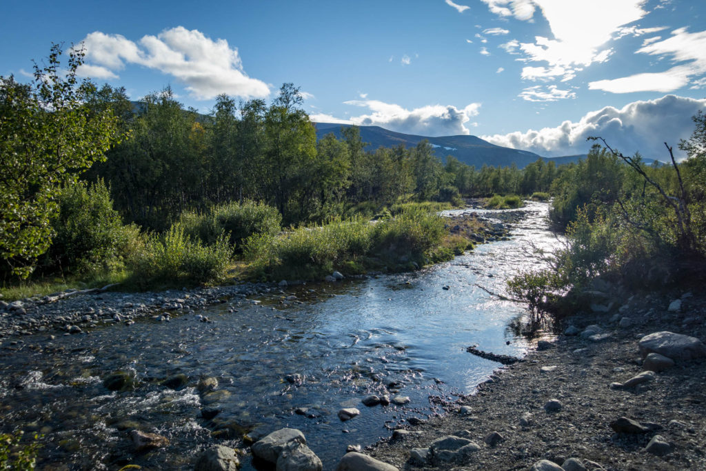
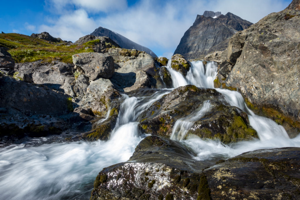
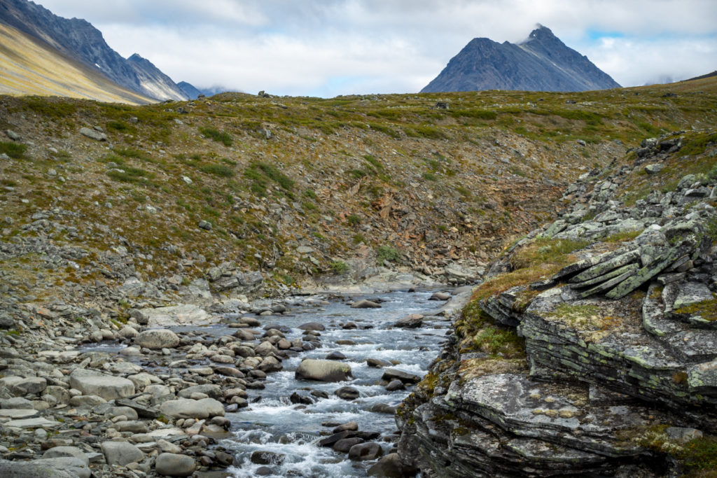
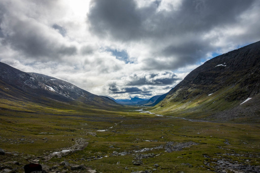
The next morning began with a bath in the icy cold water. At 11 o’clock I was packed and ready to start my way towards Kebnekaise. This section that day was also full of birch trees and scattered with the first beautiful views over the Vistas valley. One of my first official acts was to dispose of my 3 l water supply. In contrast to the High Coast Trail my “emergency liter” was simply not necessary here because there was water everywhere. For most of the day I also had a hiking companion. While hiking it is always easy for me to get into conversation with people. Even if you only walk a few kilometers together, it is nice to see familiar faces and feel a sense of connection a few days or kilometers later.
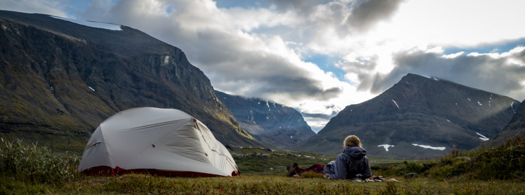
After 15 km, I arrived at the Kebnekaise Fjällstation; there was a lot going on here. Everywhere around the Fjällstation people were camping. In the station itself you could eat, drink and shop. But for me I had to hike about 2 km more in the direction of Kebnekaise in order to save time on my summit hike the next day. With a view over the Vistatal, I pitched my tent near a creek (actually everything was near a creek).
Day 3 – Kebnekaise summit tour (20 km, 1.800 hm)
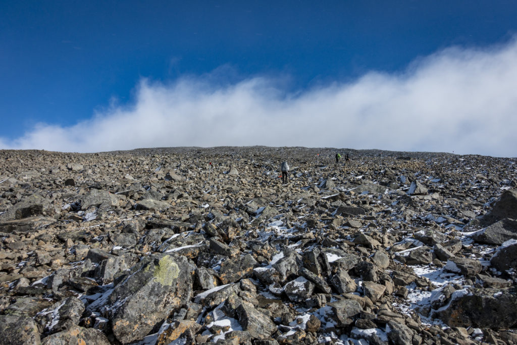
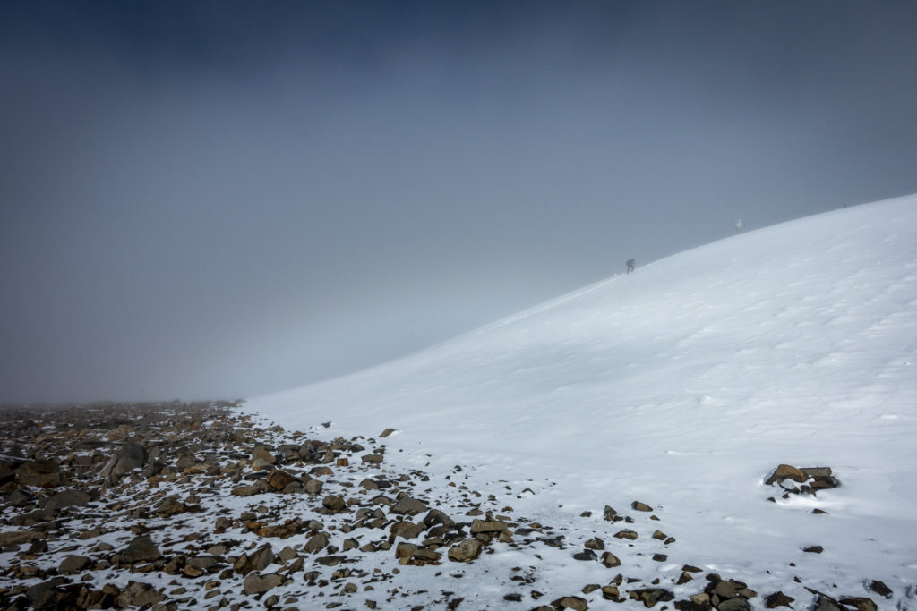
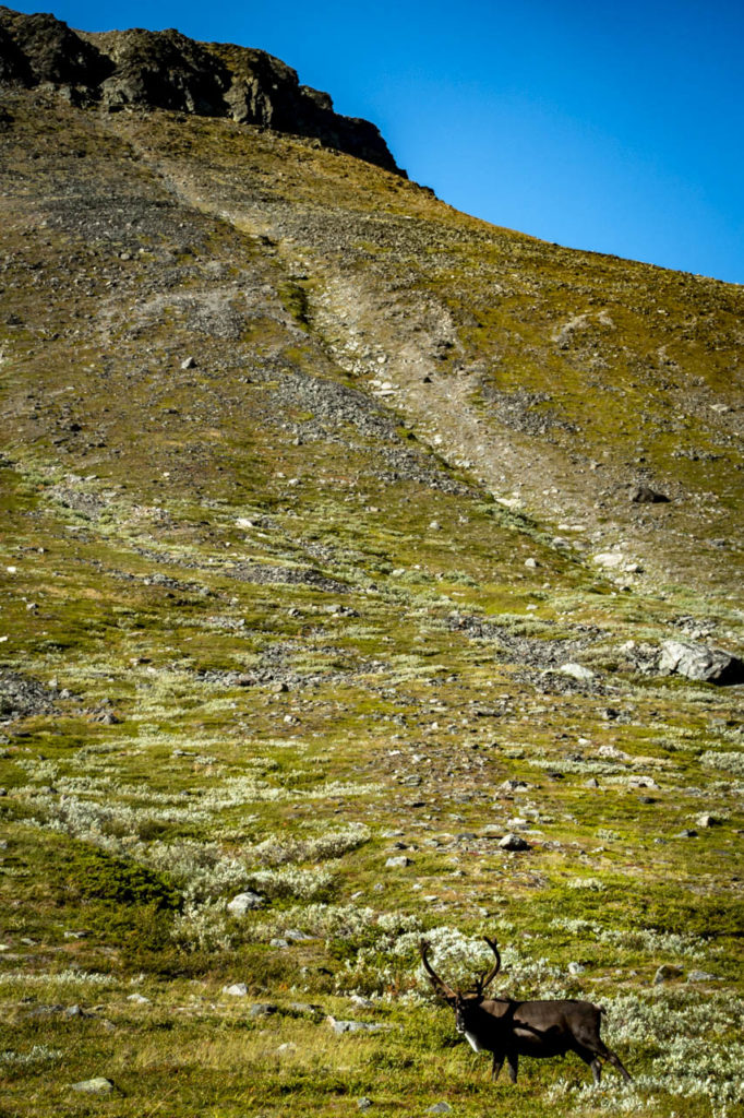
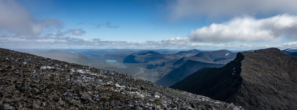
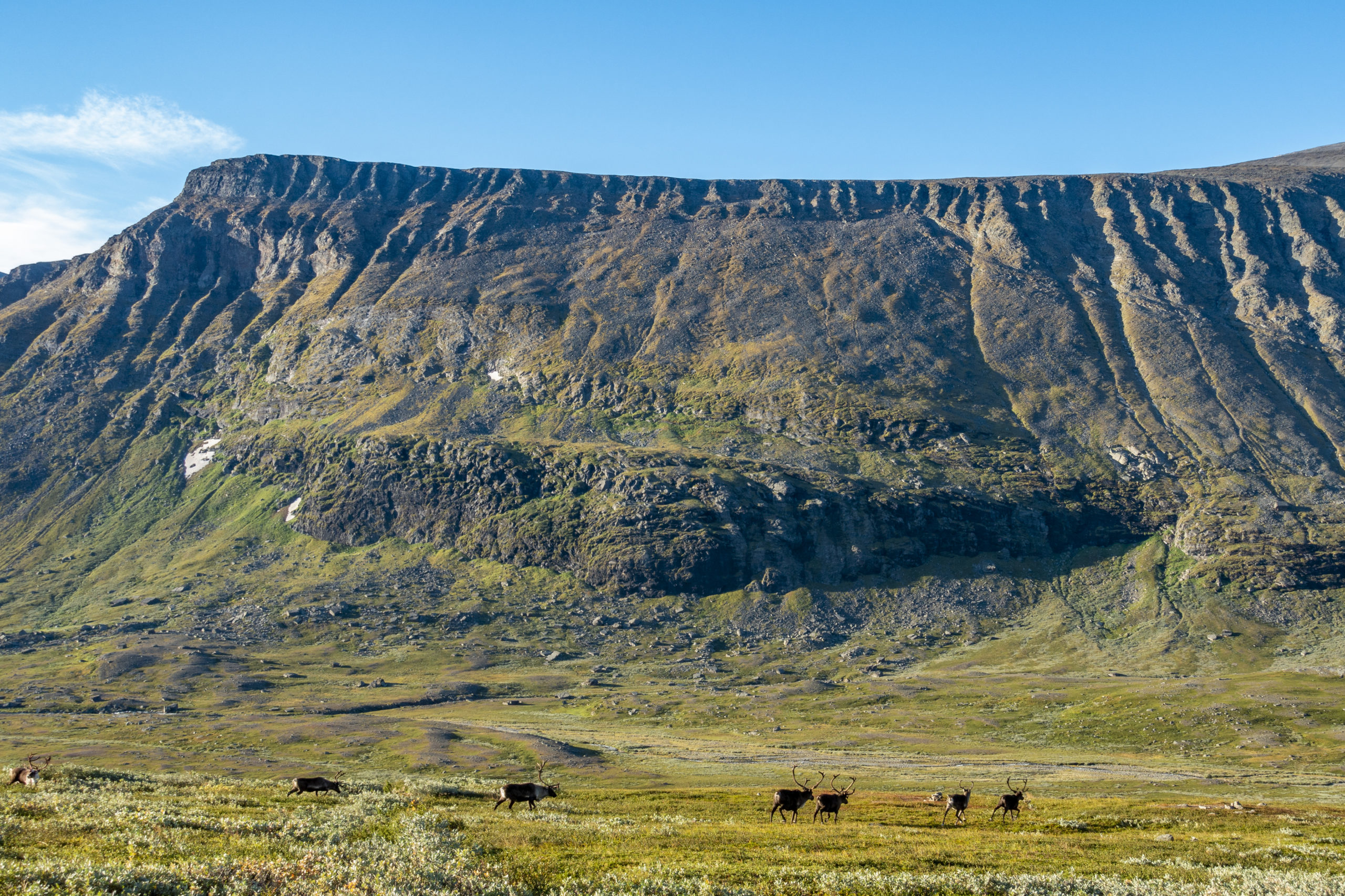
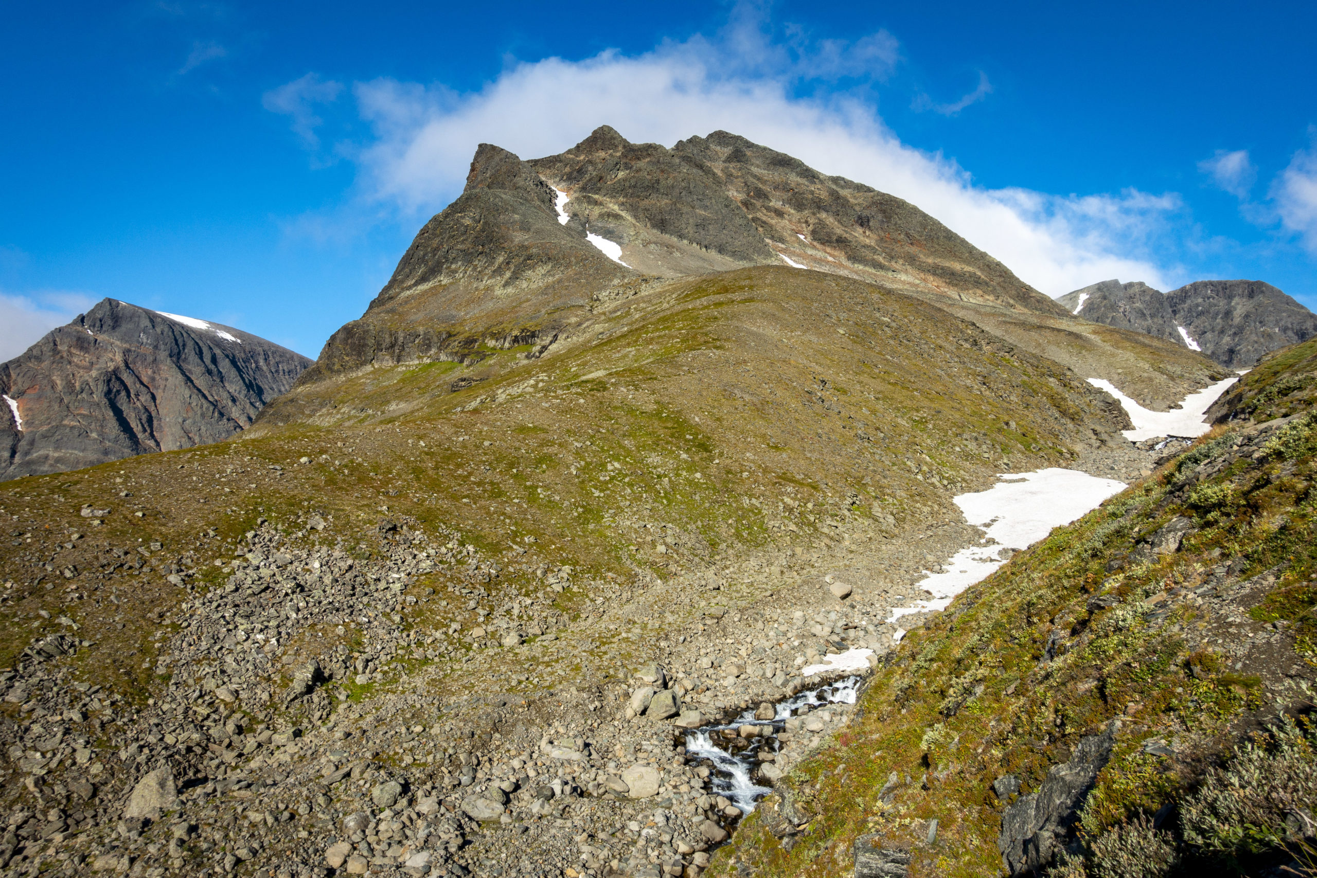
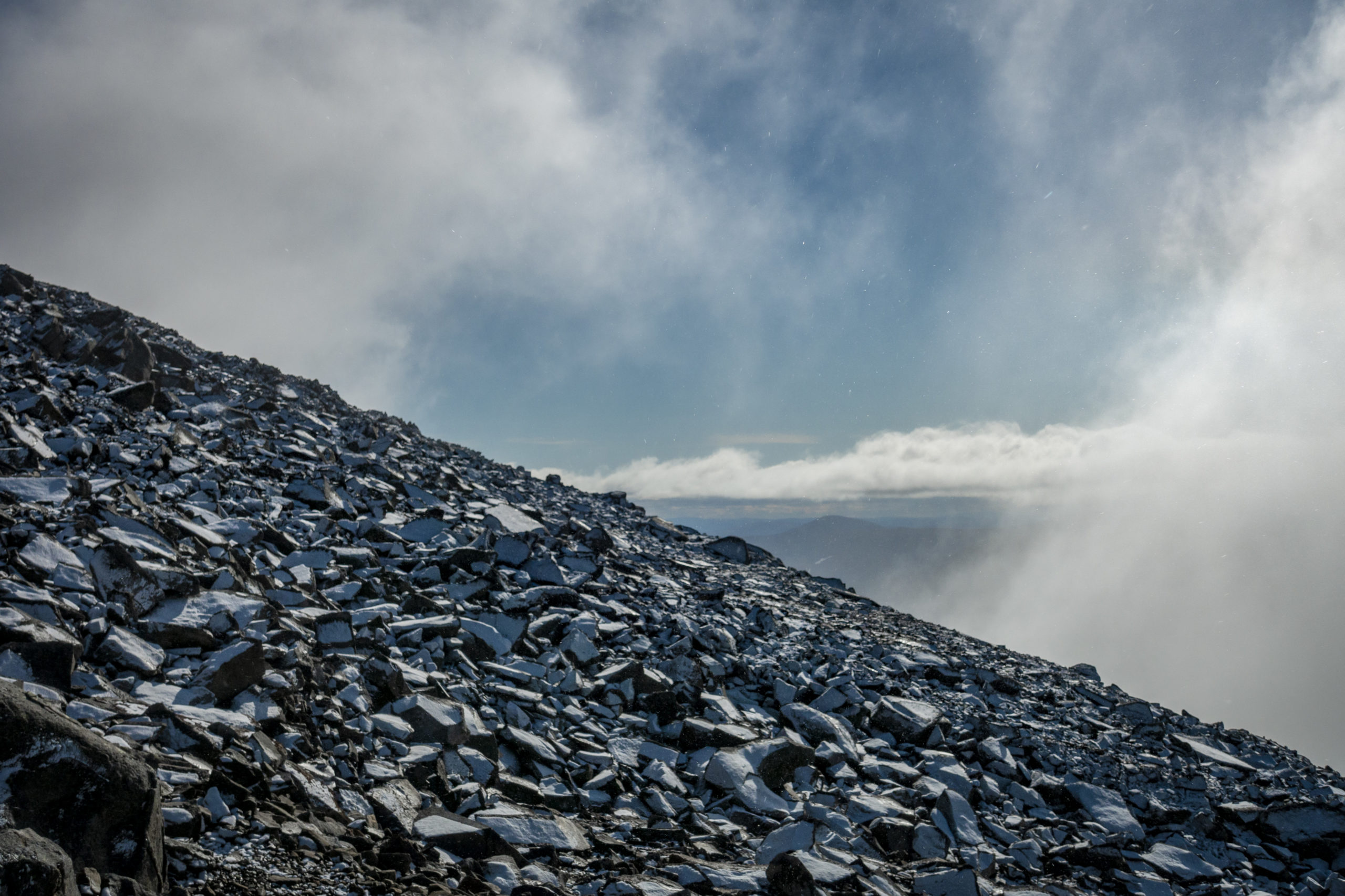
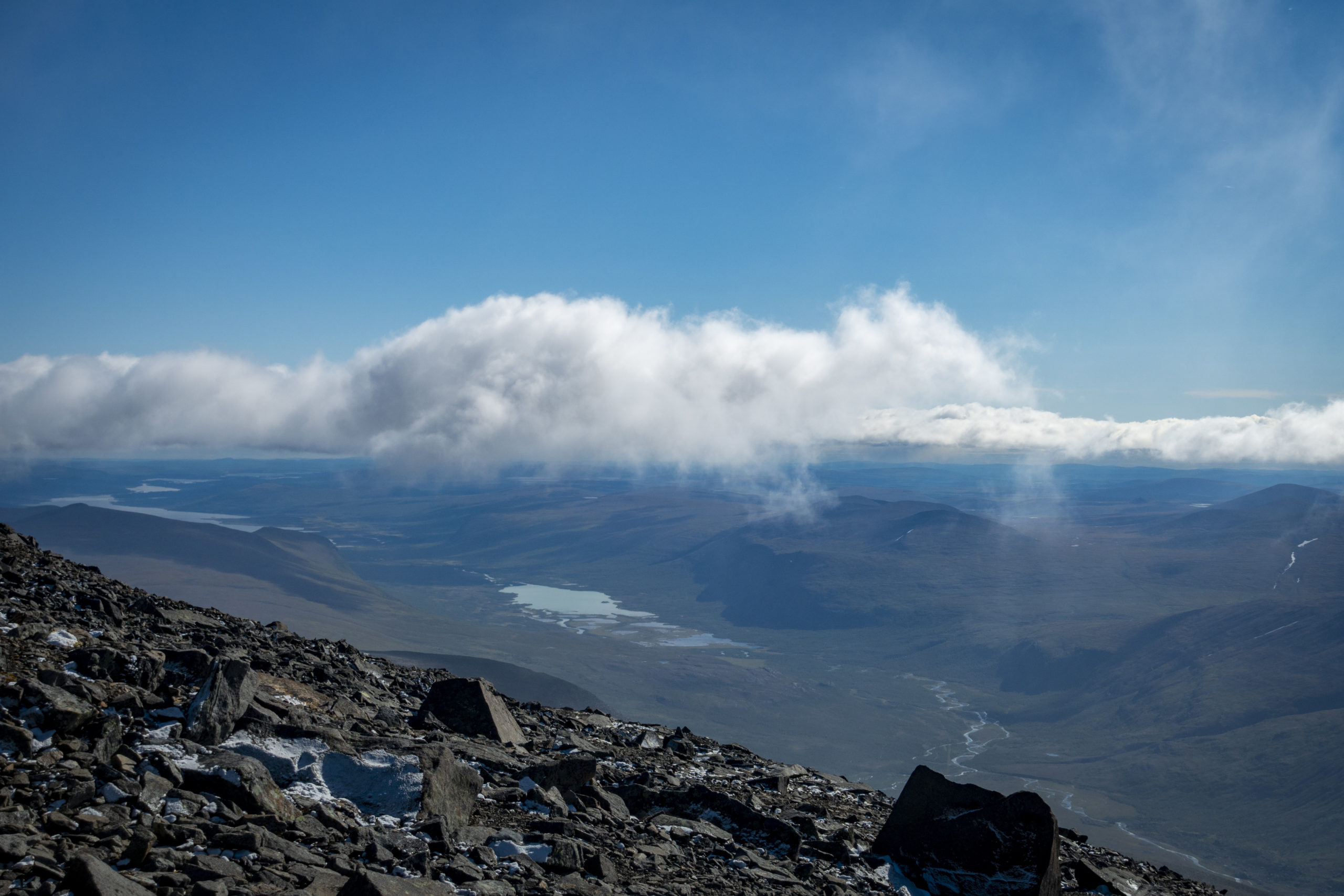
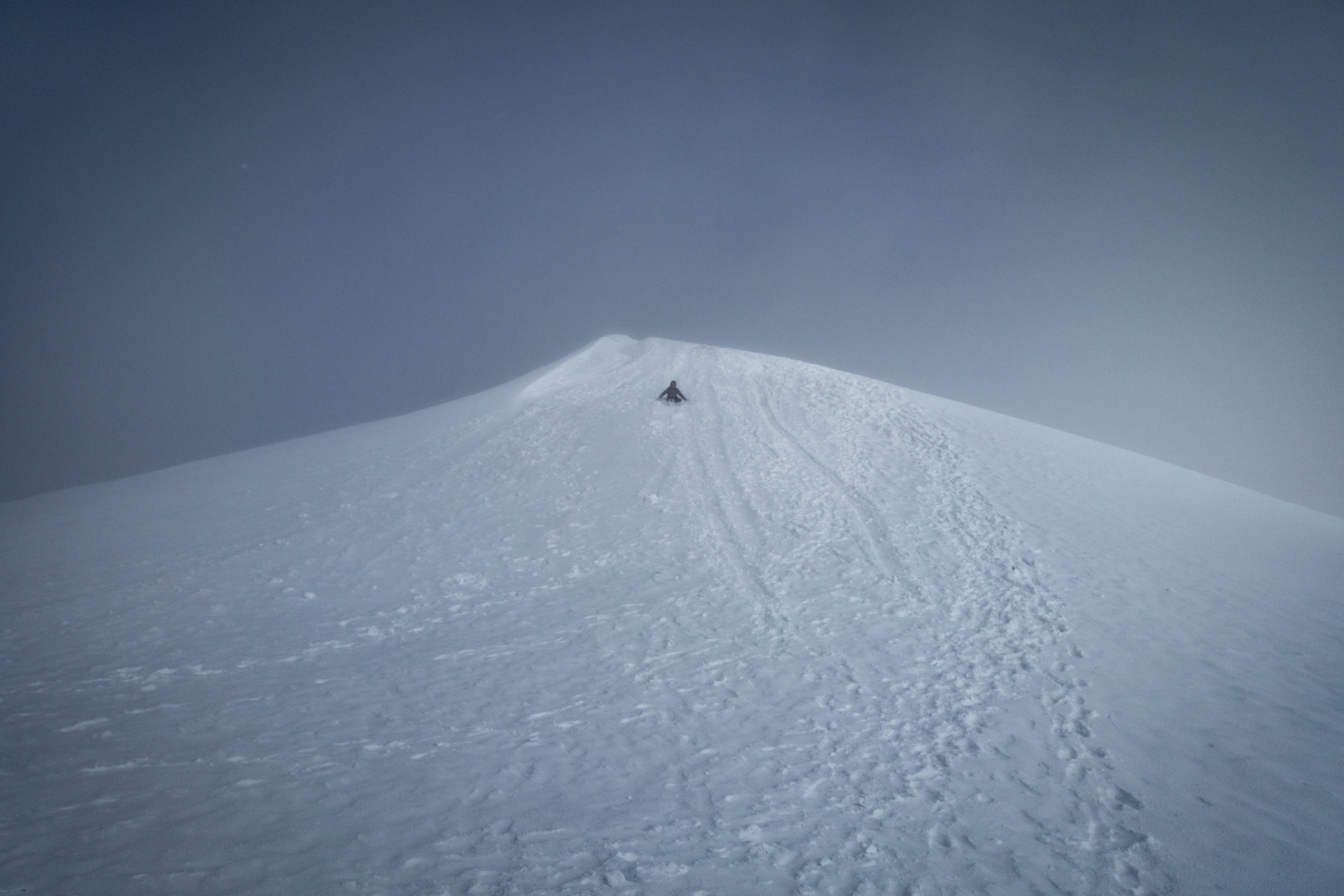
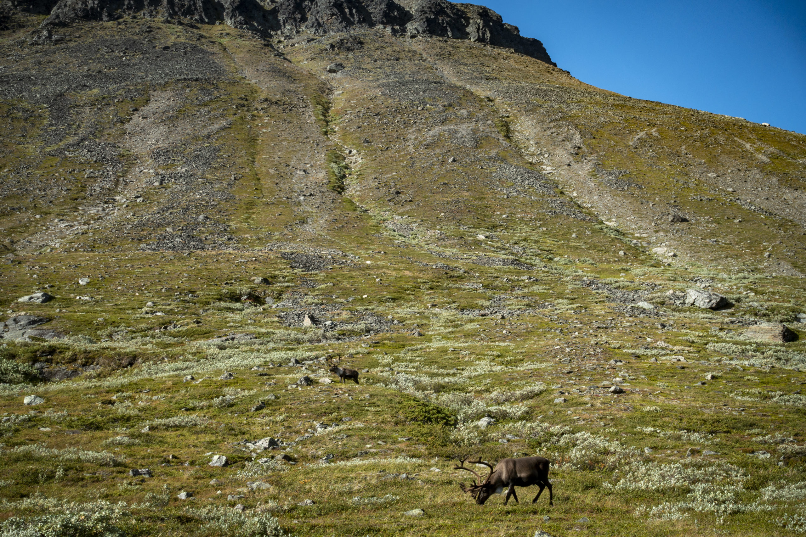
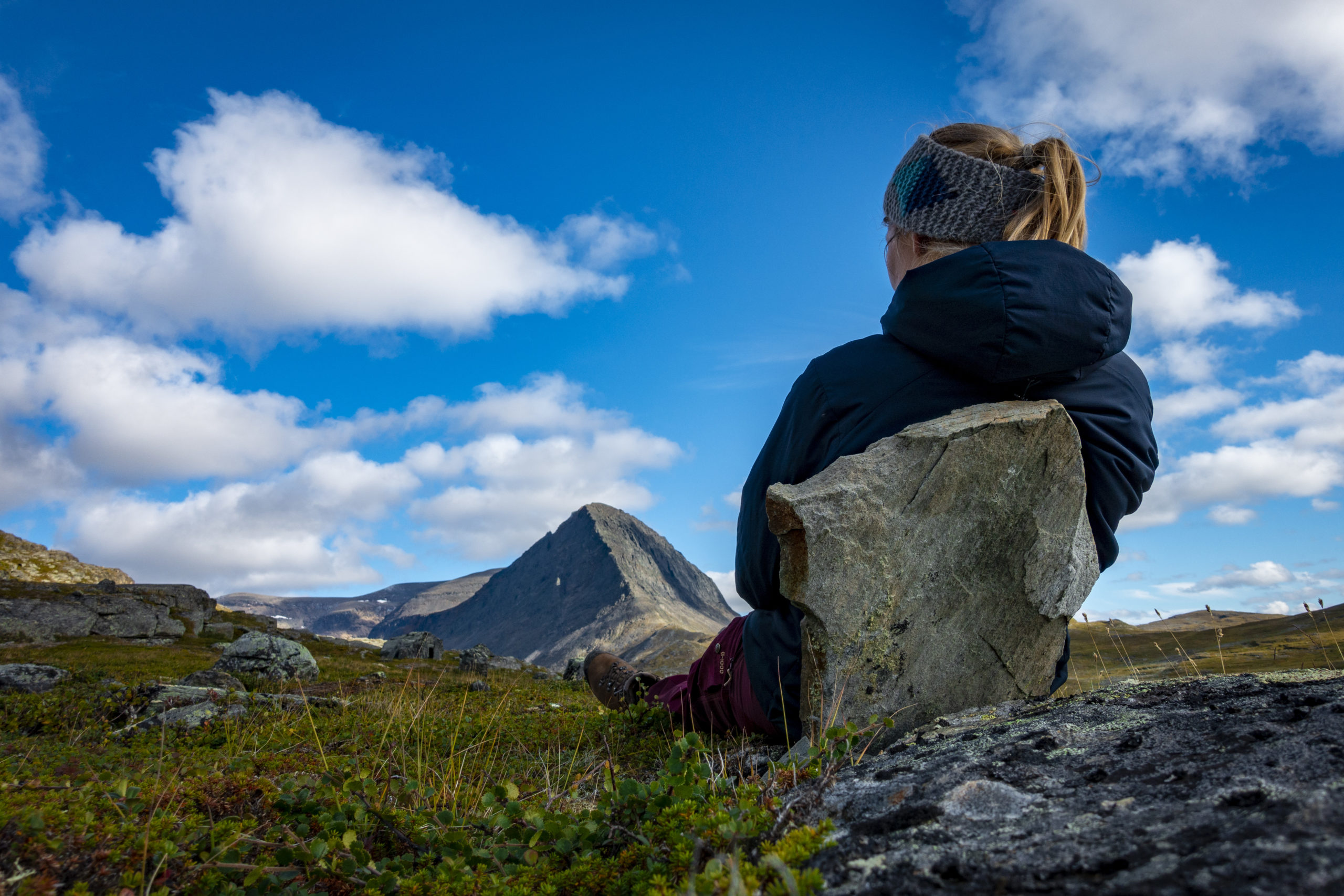
The first alarm clock rang at 5 o’clock because I wanted to start early for the day trip to Kebnekaise and take advantage of the often cloudless morning. However, it was so cold that I did not get out of my sleeping bag before 6:30 am. After a nice breakfast, which was topped off by my first reindeer sighting, I left for the mountain at 7:15 am. The first few kilometers the climb was pleasant and there were great views over the valley and the mountains, especially the Tuolpagorni, which was a real eye-catcher. After about 2 hours I started the ascent to the pre-peak Vieranvarri. At this time it started snowing. After walking back down the pre-peak, the trail followed on the Kebnekaise itself. Over stones, small and large, the path led steadily uphill, marked by red signposts. The ascent was a real sweat-maker, but was easy to manage. On the way up the clouds cleared up a bit, so we had a great view over the Vistas valley and more. Around noon I arrived at the glaciated south summit. I dug my toes into the hard snow and fought my way up. One time it didn’t really work and I slipped down a little bit on my ass – just a foretaste. Right on the summit I sat in the snow with my hiking companions for a few minutes and enjoyed the non existing view. Due to the low temperatures, it was not long before I slid down the whole summit on my ass. I believe that I read that this was a tradition, so I encouraged everyone else to do the same. Tradition or not, it was a great amount of fun. I was afraid on the way back, already on the ascent. There were many snow-covered stones that were quite slippery and it was also very easy to slip on the gravel, as I could see for myself. But everything is not that bad – if you want to get there, you have to get up again. At 16:30 o’clock I finally arrived at the campsite, completely drained. I haven’t felt this exhausted for a long time. The hike on the Kebnekaise was more physically demanding than technically, but definitely worth the sweat.
Unfortunately there was no time for a long break after my arrival, because I wanted to go to the mountain station to refill my food supply. I had bought 6x Asian noodles, 6x protein bars, crispbread and muesli in Luleå, but that didn`t seem like enough for the next few days. Besides, I wanted to treat myself to a pack of dry food for 7,50 € as a celebration for this exciting day. That was the catch of the day, because I missed the pictured walnut on the package due to all the excitement. Since I have a nut allergy, the disappointment back at the tent was accordingly large. Instead, I had to eat Asian noodles, which, together with fresh rolls and chocolate from the mountain station, turned out to be an appropriate feast.
Day 4 – Kebnekaise Fjällstation to Singi (15 km)
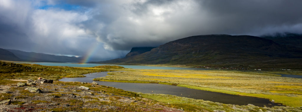
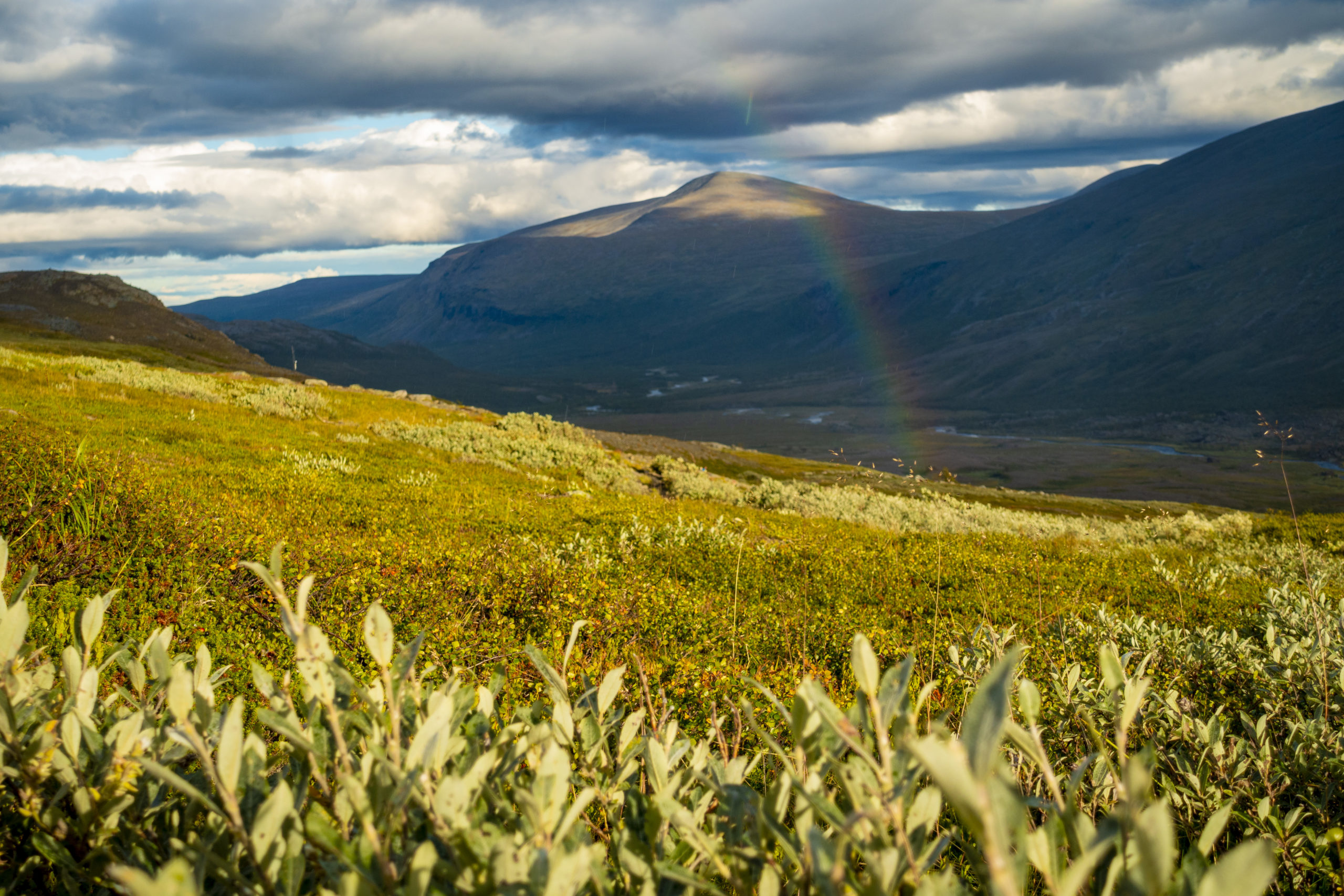
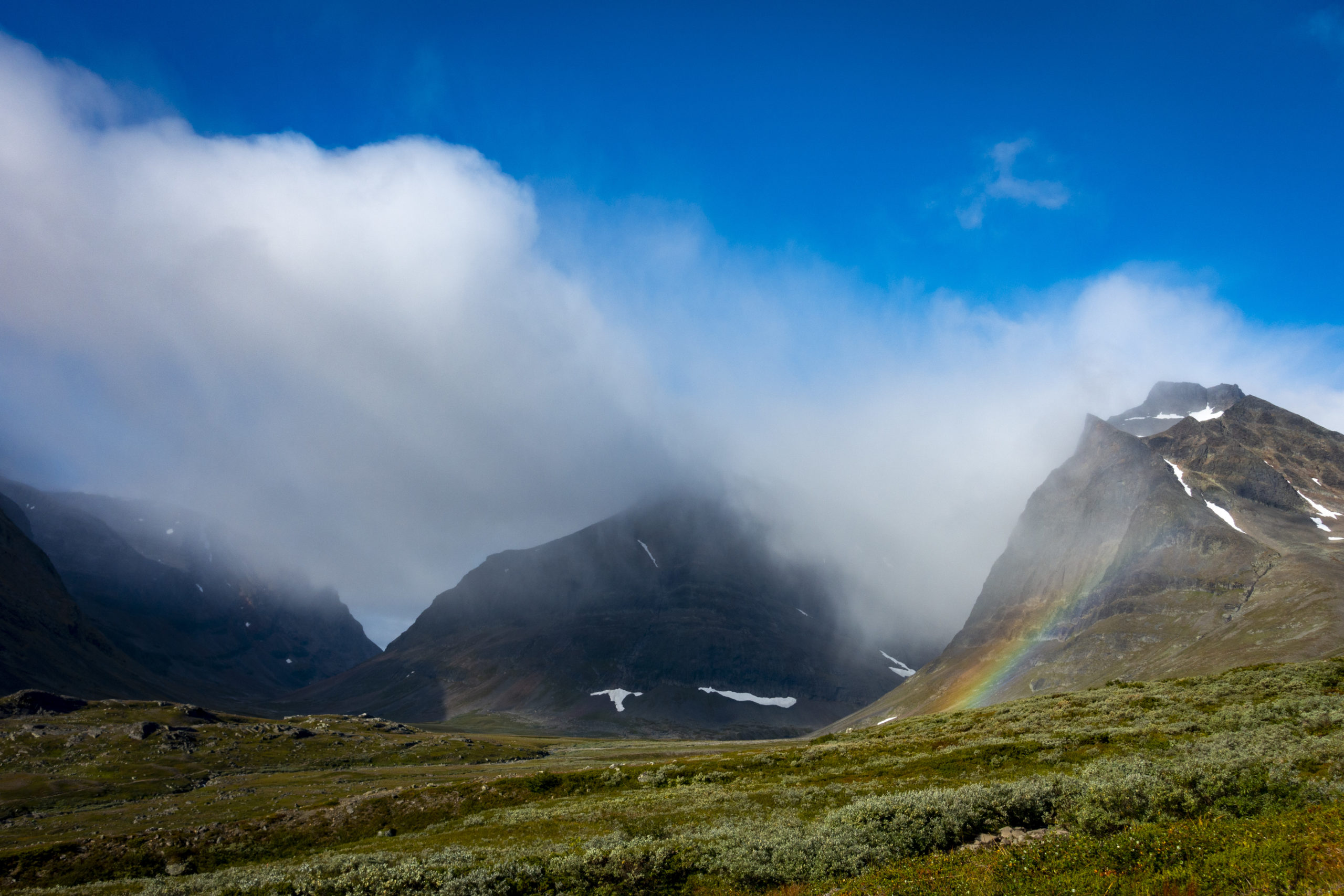
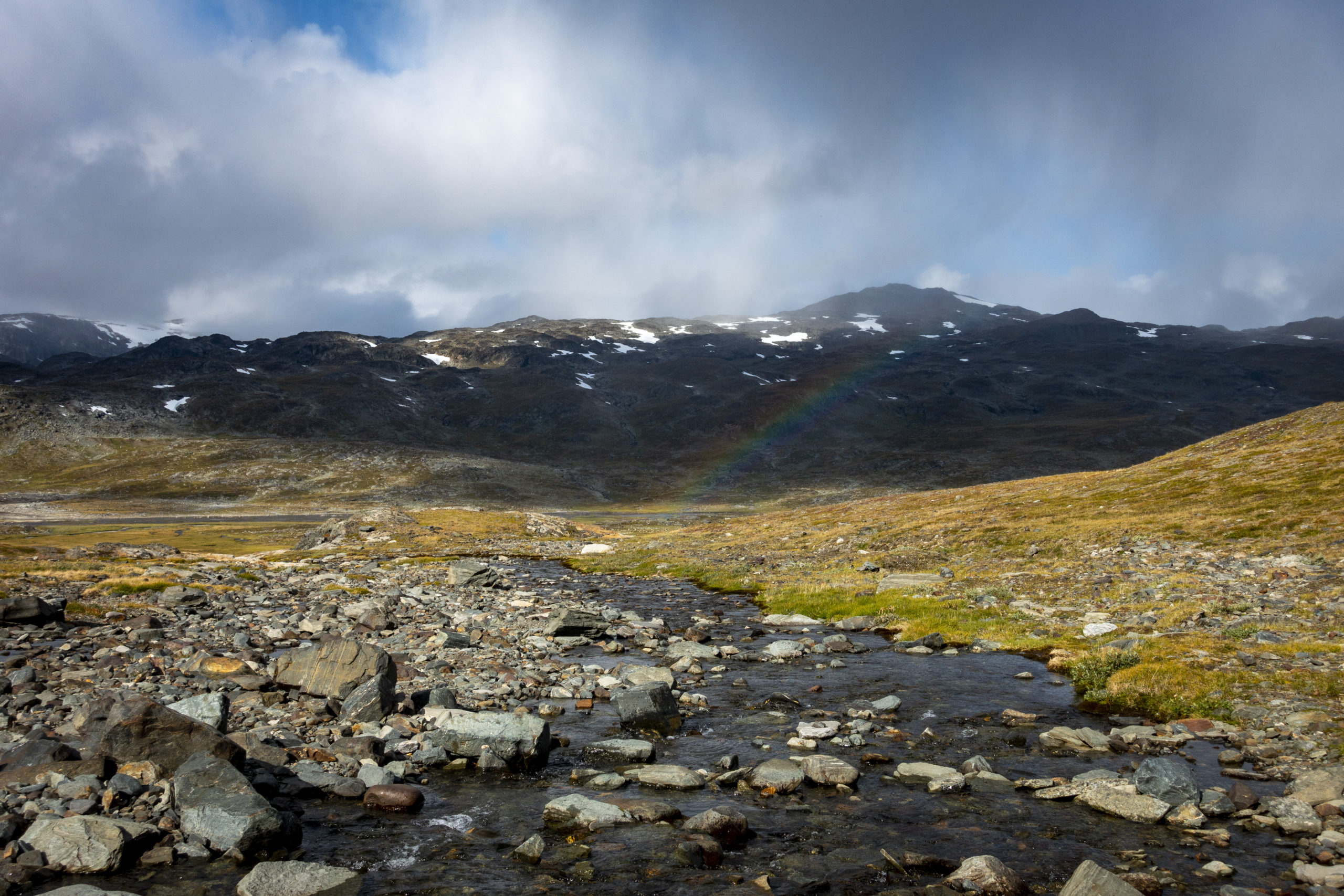
In the morning I packed everything together nicely, did yoga, meditated and had breakfast. With the view over the valley and a rainbow standing over the mountains, it was an exceptionelly beautiful morning. In the mountain station I could easily exchange my walnut pasta for something else. I also bought cheese in a tube, which is very popular among the Swedes. It wasn’t as bad as expected, at least better than dry crispbread (note a week later: spoiler, it gives you bad gas).
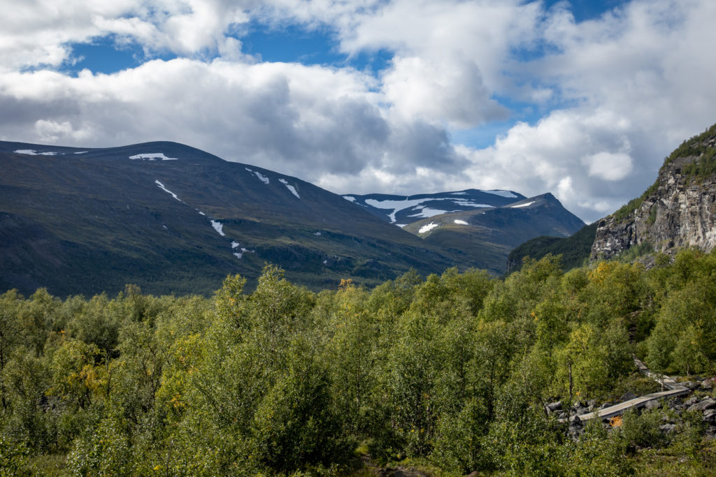
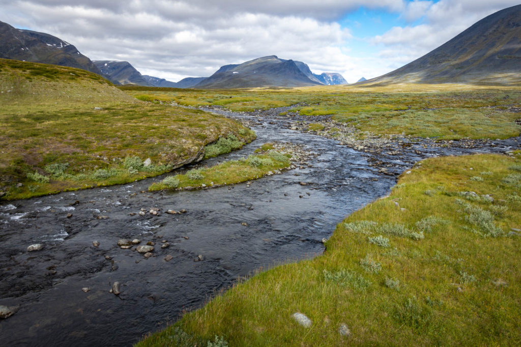
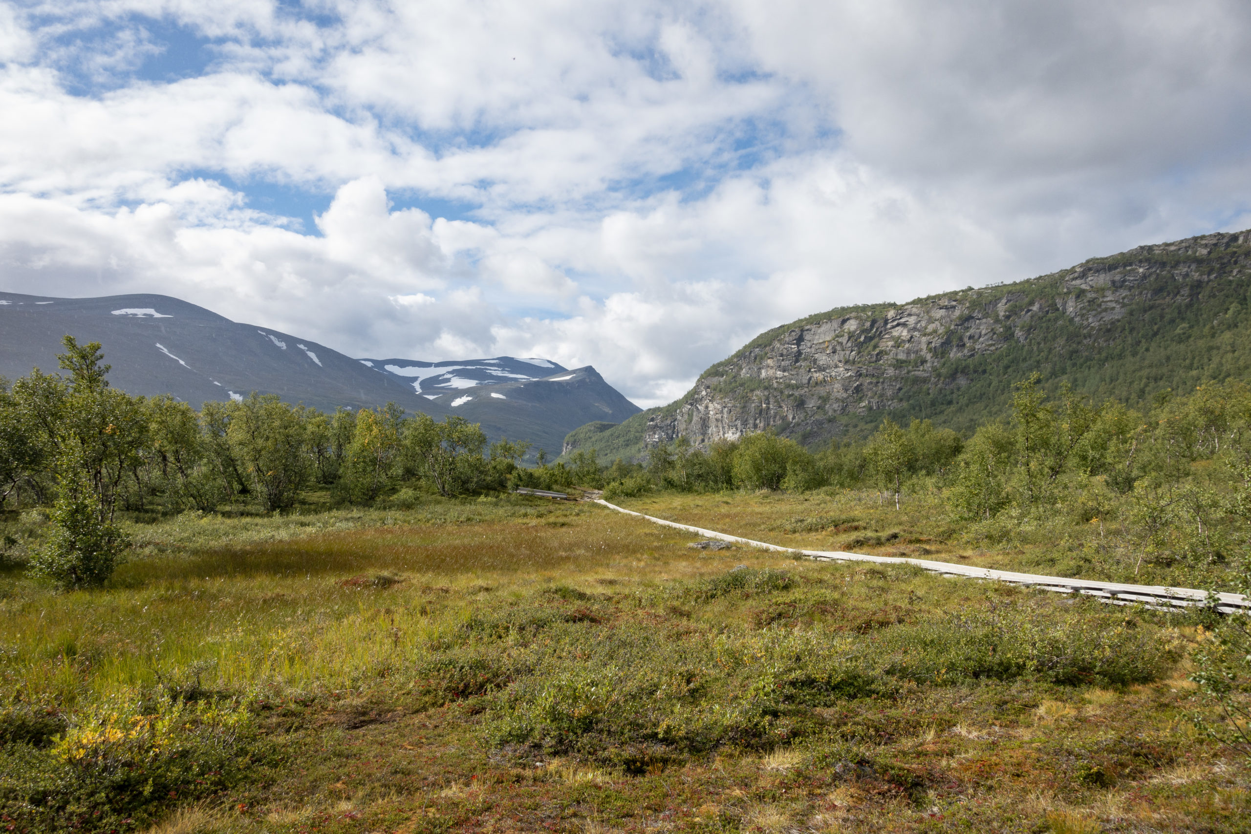
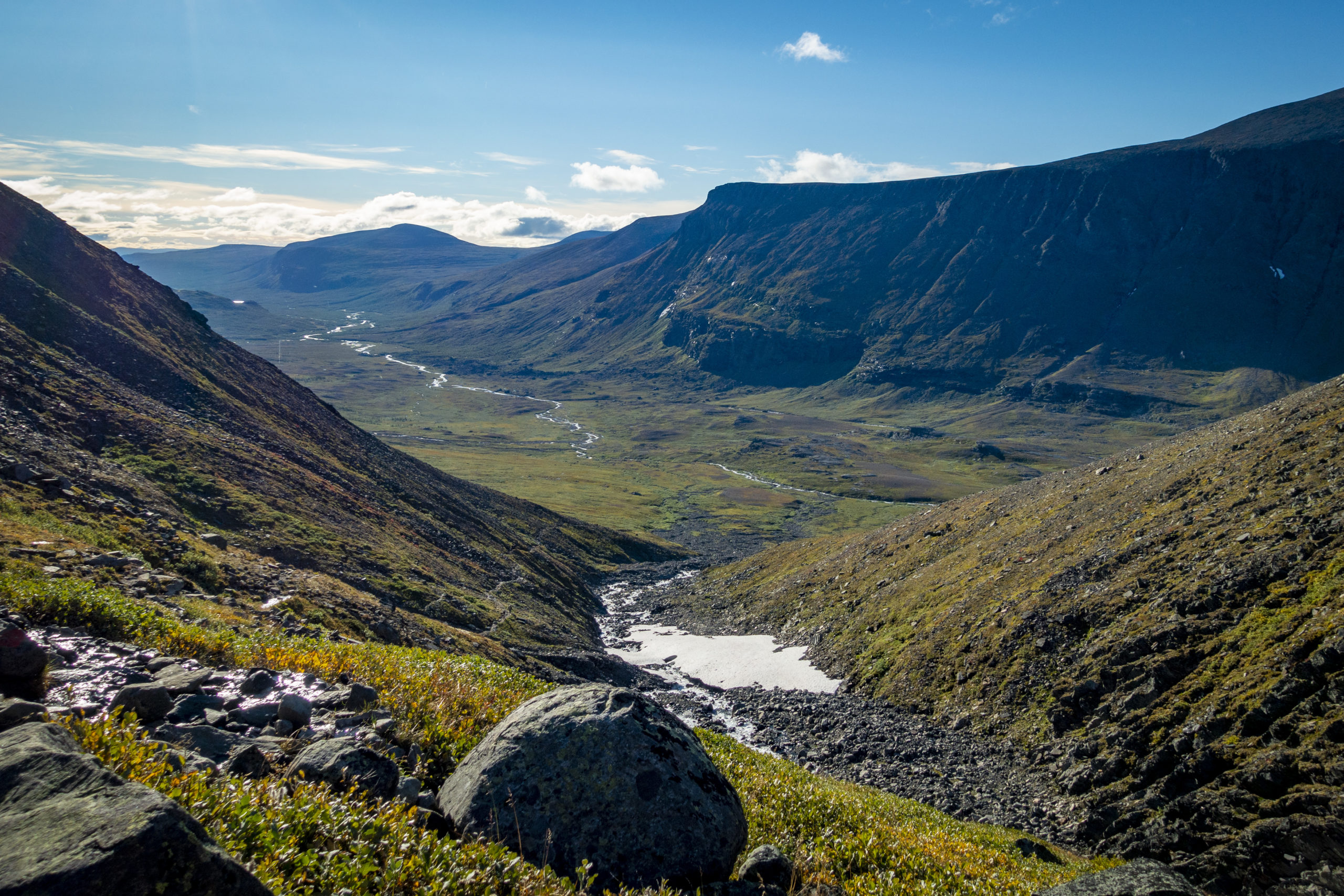
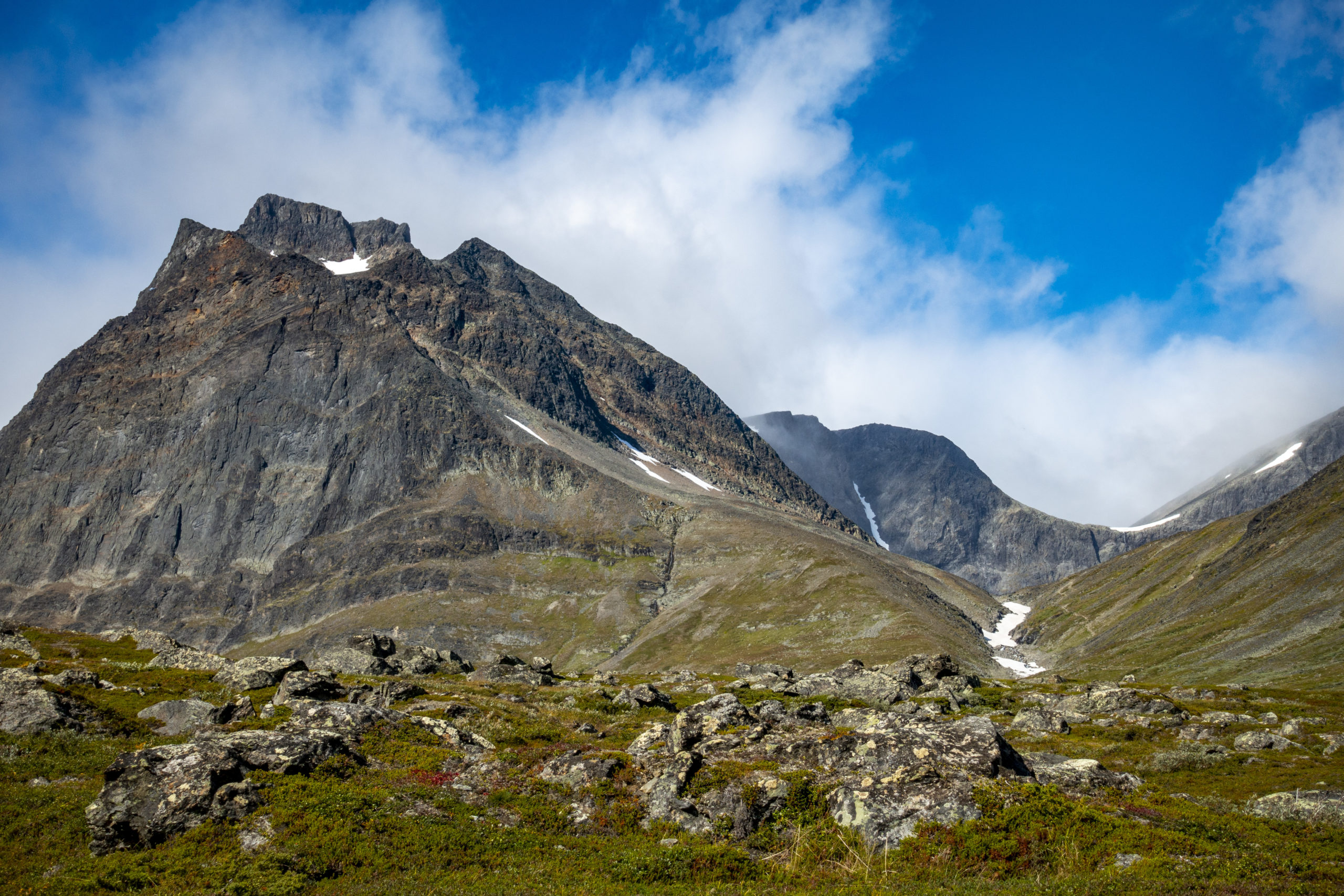
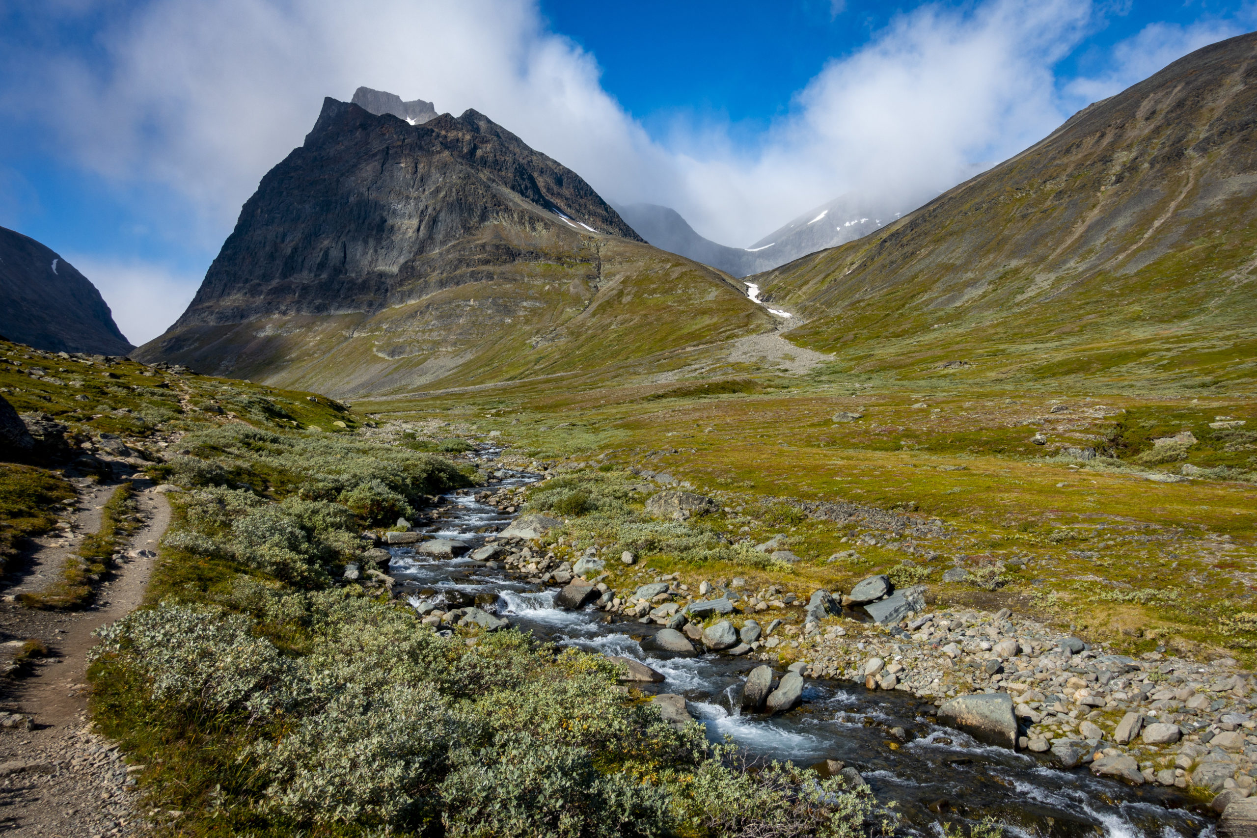
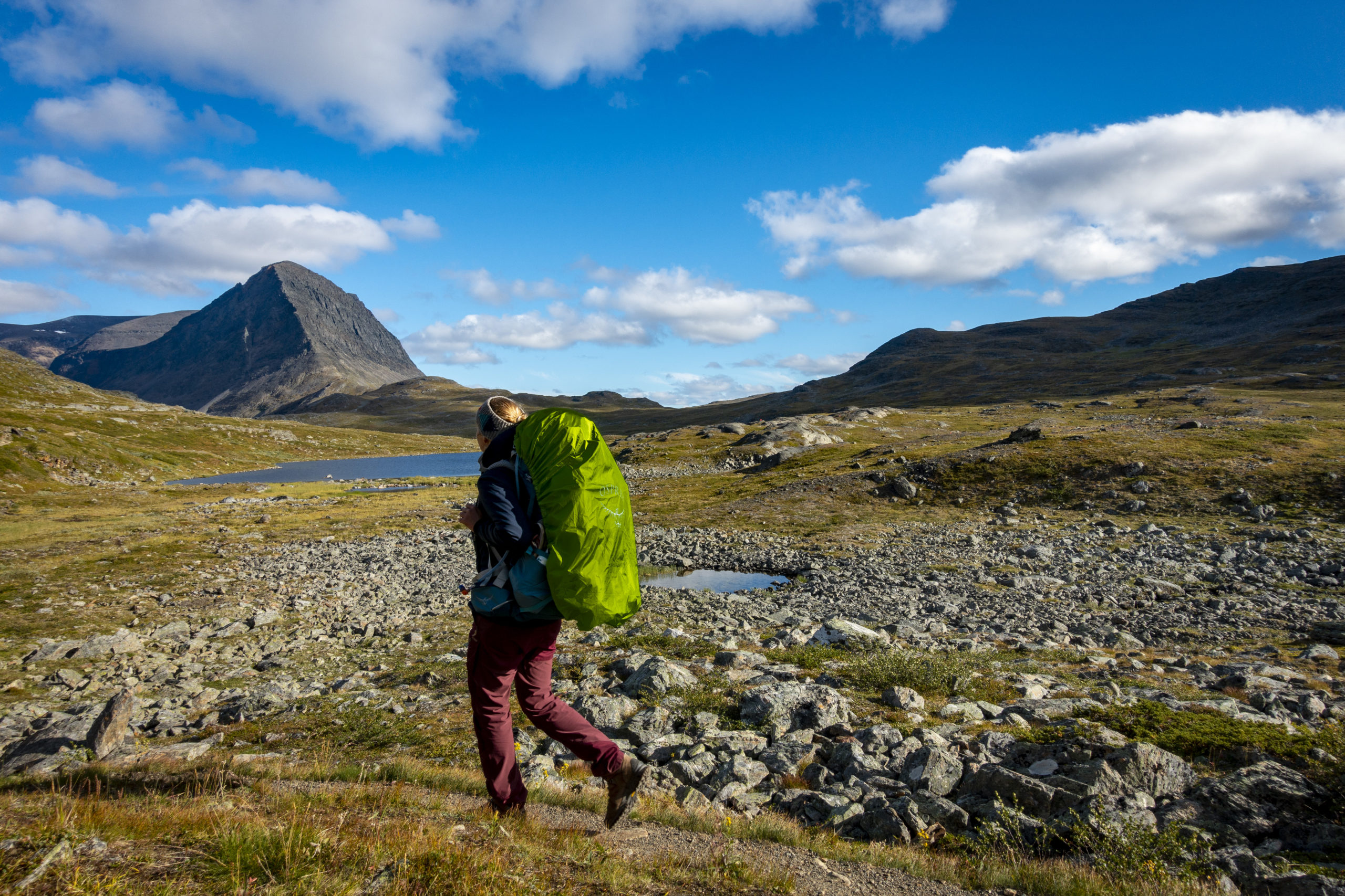
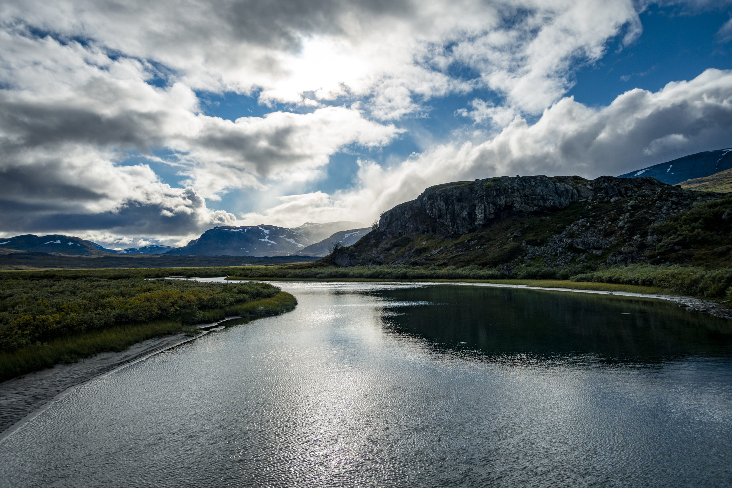
Deeply relaxed I went at 11 o’clock towards Singi. The trail led towards the end of the valley and past Tuolpagorni. And then? Then it was incredibly quiet. There were only the graceful mountains, the silence and me. At that time, I didn’t even know that I was on a pilgrims’ path, which is known for its silence, among other things.
I reached my destination that day after 15 km in Singi. Right behind the hut, I pitched my tent. While enjoying the sun and the landscape, I decided to treat myself to my dry food, Pasta Carbonara, which had been switched for my walnut pasta. I like to call this freeze-dried outdoor food my “Sunday dinner” because it is so expensive, tasty and nutritious compared to the usual Asian noodles I use. So it is only unpacked on special occasions. This Friday was clearly a day for a Sunday dinner.
Day 5 – Singi to Tjäktja Pass (17 km)
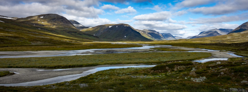
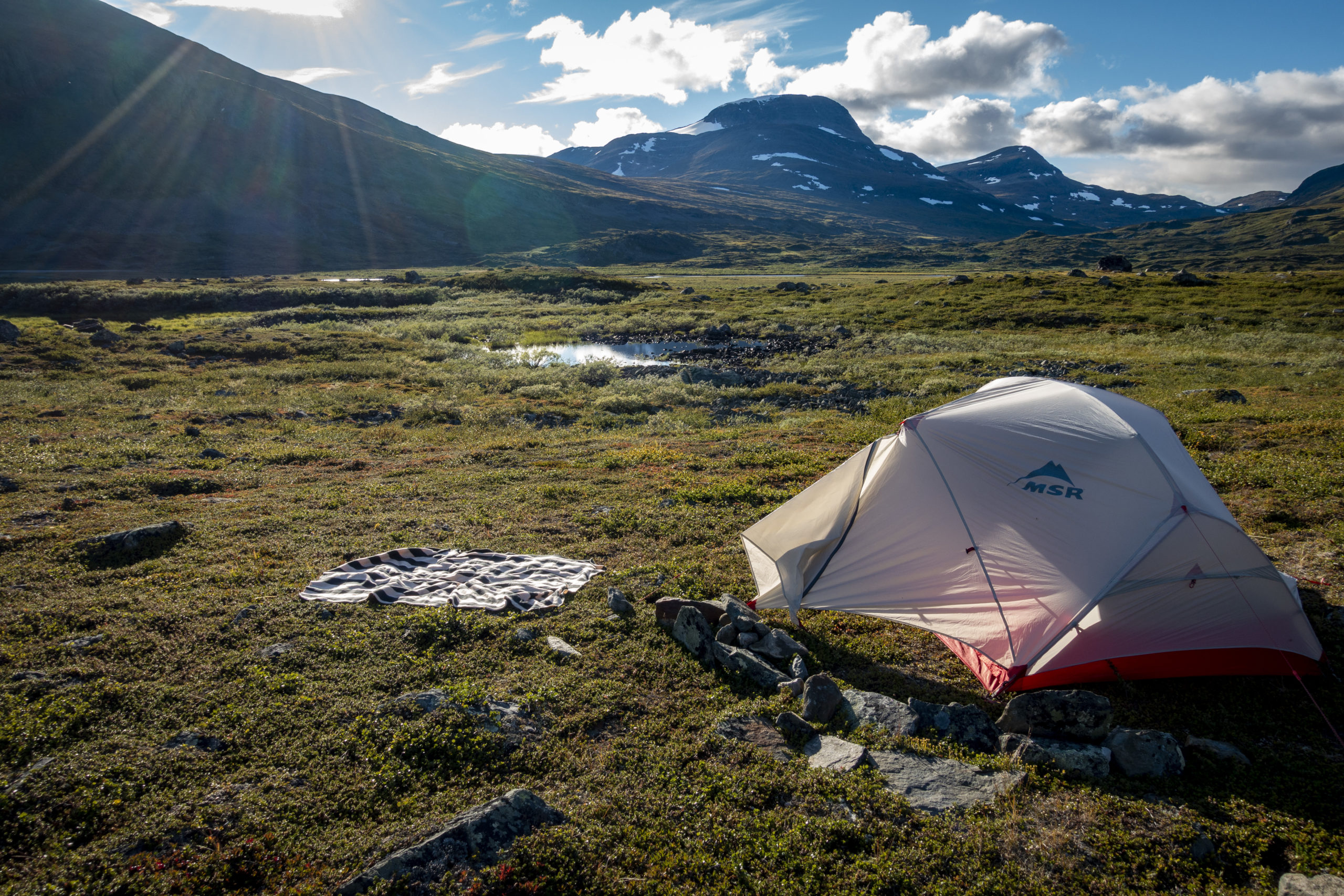
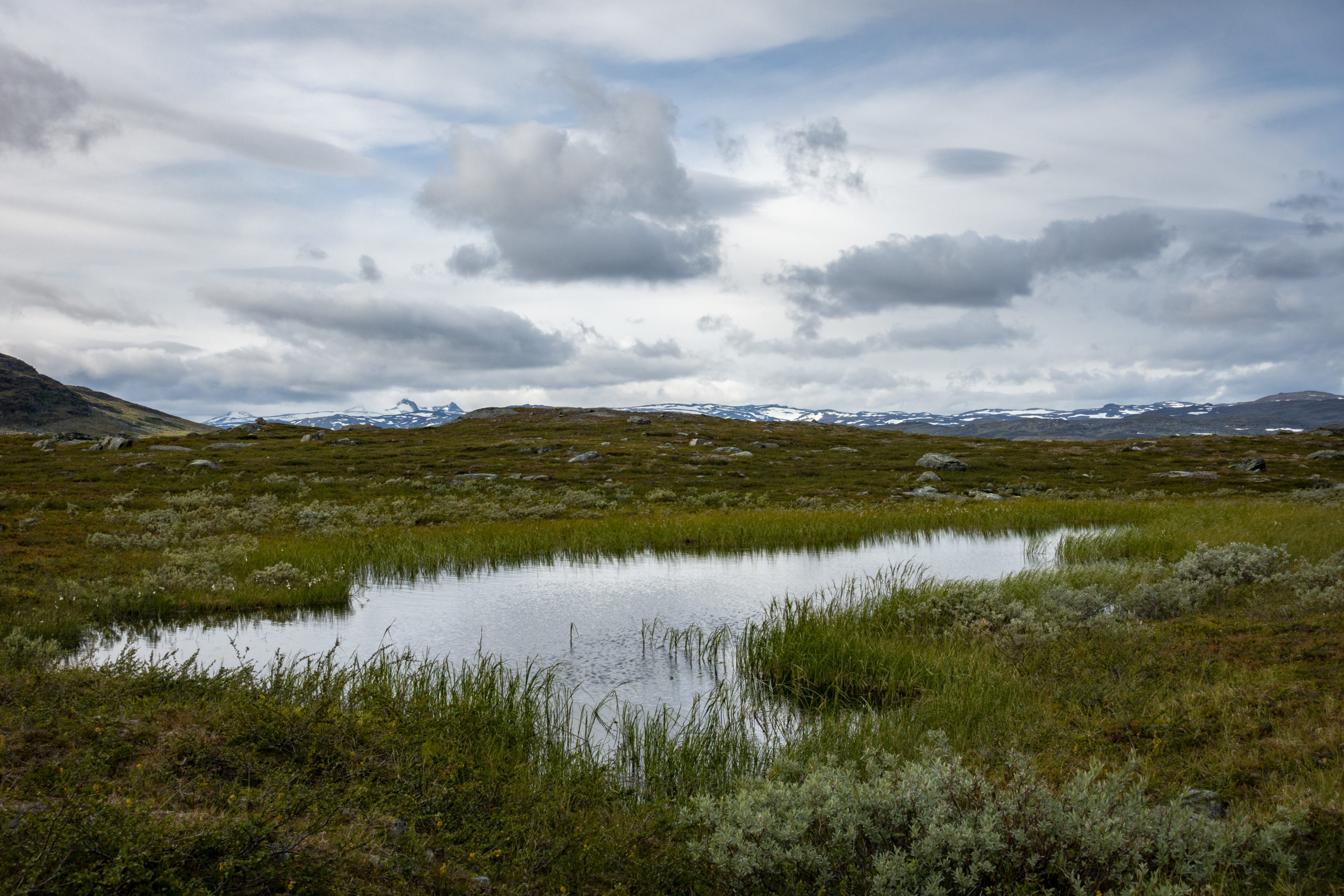
Also in Singi, the day started with sun, yoga and meditation. Afterwards I went further north in the valley. It’s not that I could have made out the compass direction, but if you hike northwards, that will probably be more or less true. After 12 km, my hike to Sälka had already finished at 14 o’clock. On this day I got a little bit away from the “slowness” which characterizes the pilgrims’ path. Because it was still so early, I wasn’t satisfied with the 12 km. After 5 km the highest point of Kungsleden, the Tjäktjapass at 1150 hm, followed, which is why continuing hiking after Sälka was not the best idea. It was very cold and windy there and since it was also stony and swampy, it was difficult to find a place to camp around the pass, both the kilometers before and after. So I walked back a little and found a place to sleep by the water. It was freezing cold, so I crawled into the tent early.
Day 6 – Tjäktja Pass to Alesjaure Fjällstation (20 km)
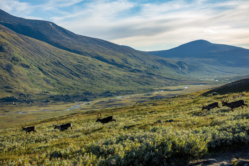
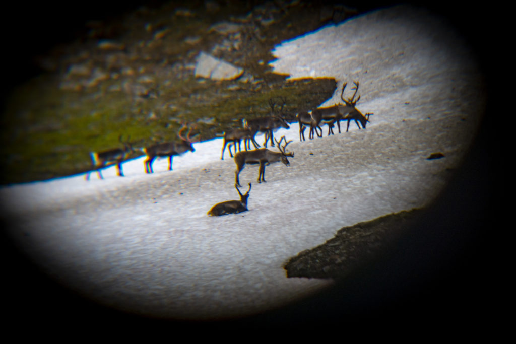
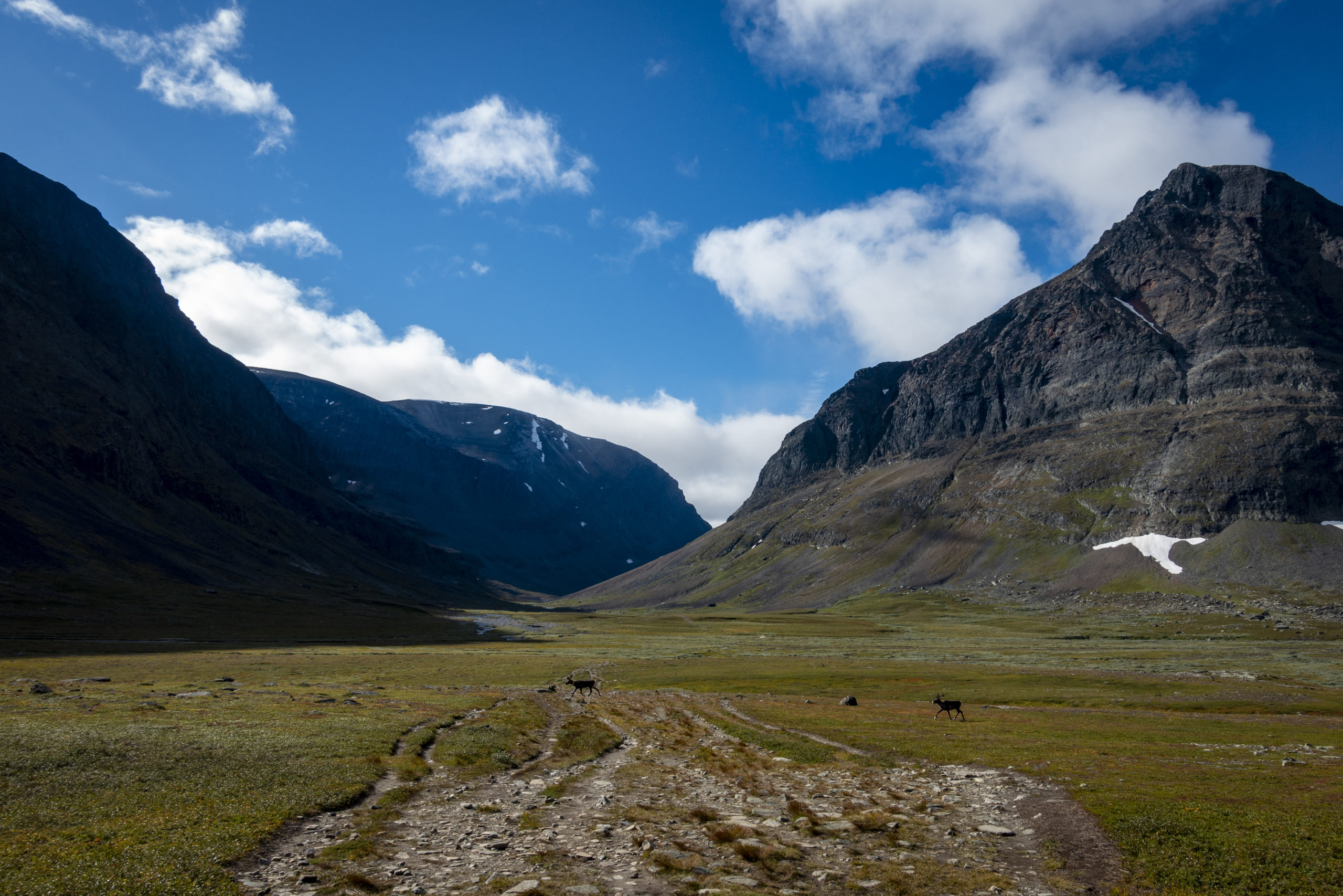
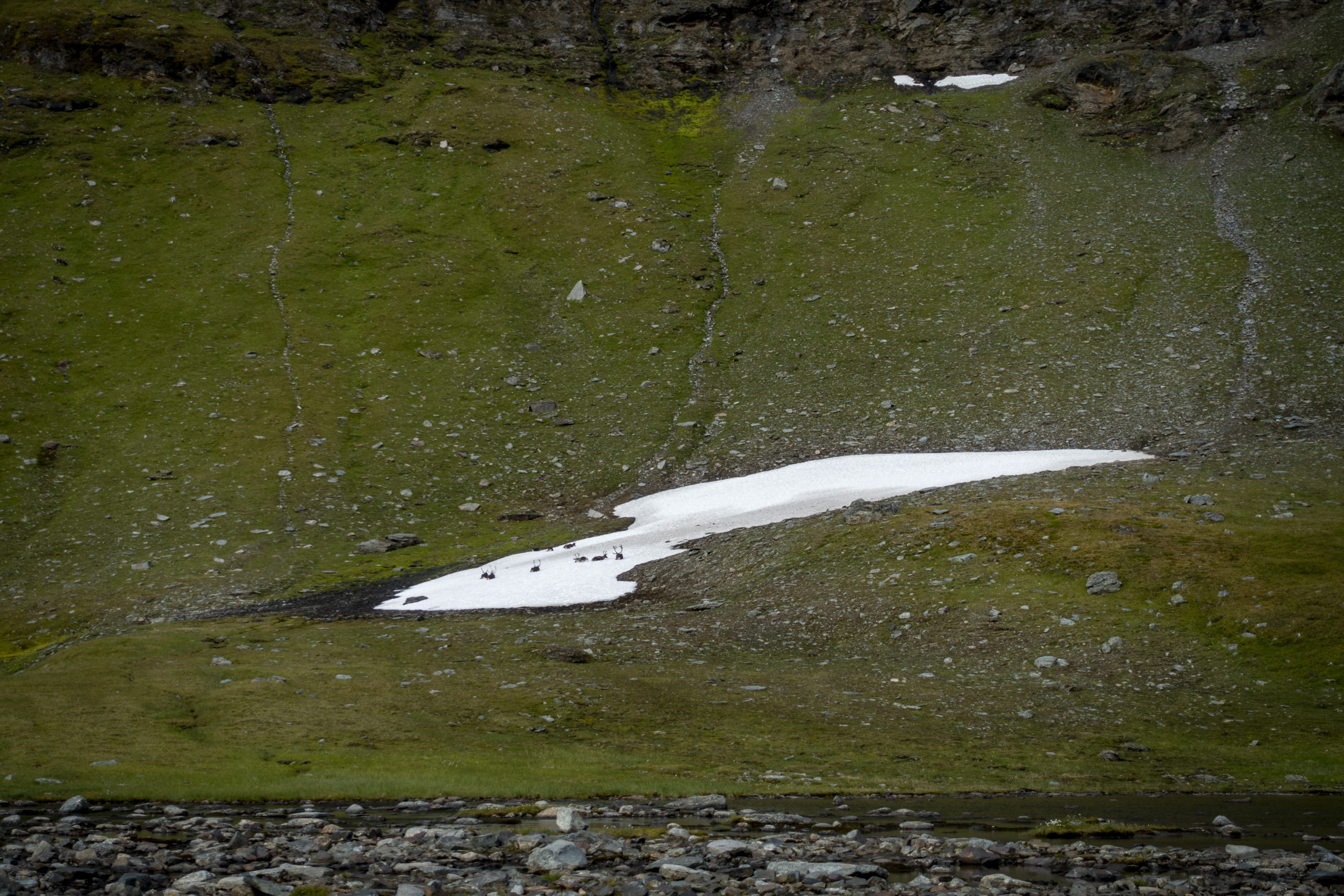
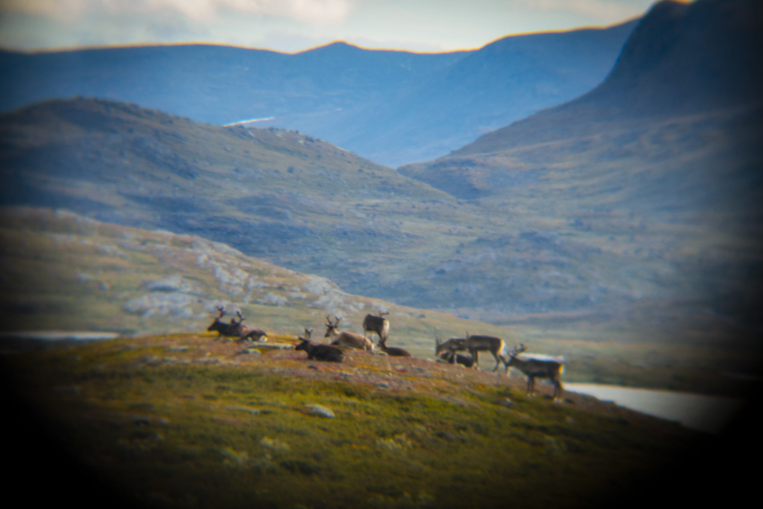
The next morning my morning routine unfortunately didn’t work out as it was simply too cold for yoga. Nevertheless, I used the place by the river to take a bath in the water. My feet froze almost immediately, so my bath was accordingly short. Nevertheless it is always a great feeling for me to jump into the water in the morning. Afterwards everything feels much warmer. At breakfast, I was happy to see reindeer lying around on a snow patch on the opposite mountain to me – so that was a breakfast with reindeer. Since I don’t have the biggest zoom with my beloved small compact camera, I like to use my binoculars in cases of far away wildlife sightings. The blurred images from this morning may not be the most beautiful ones, but they are rare.
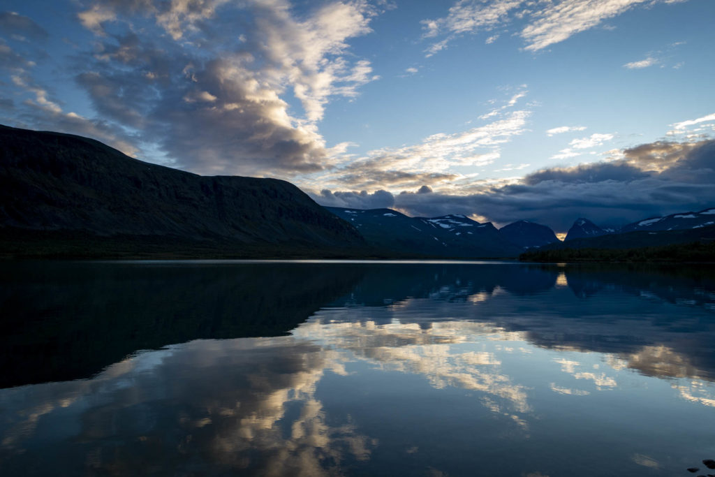
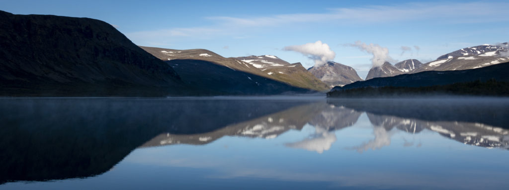
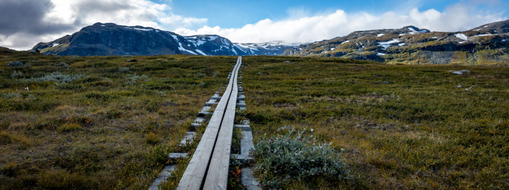
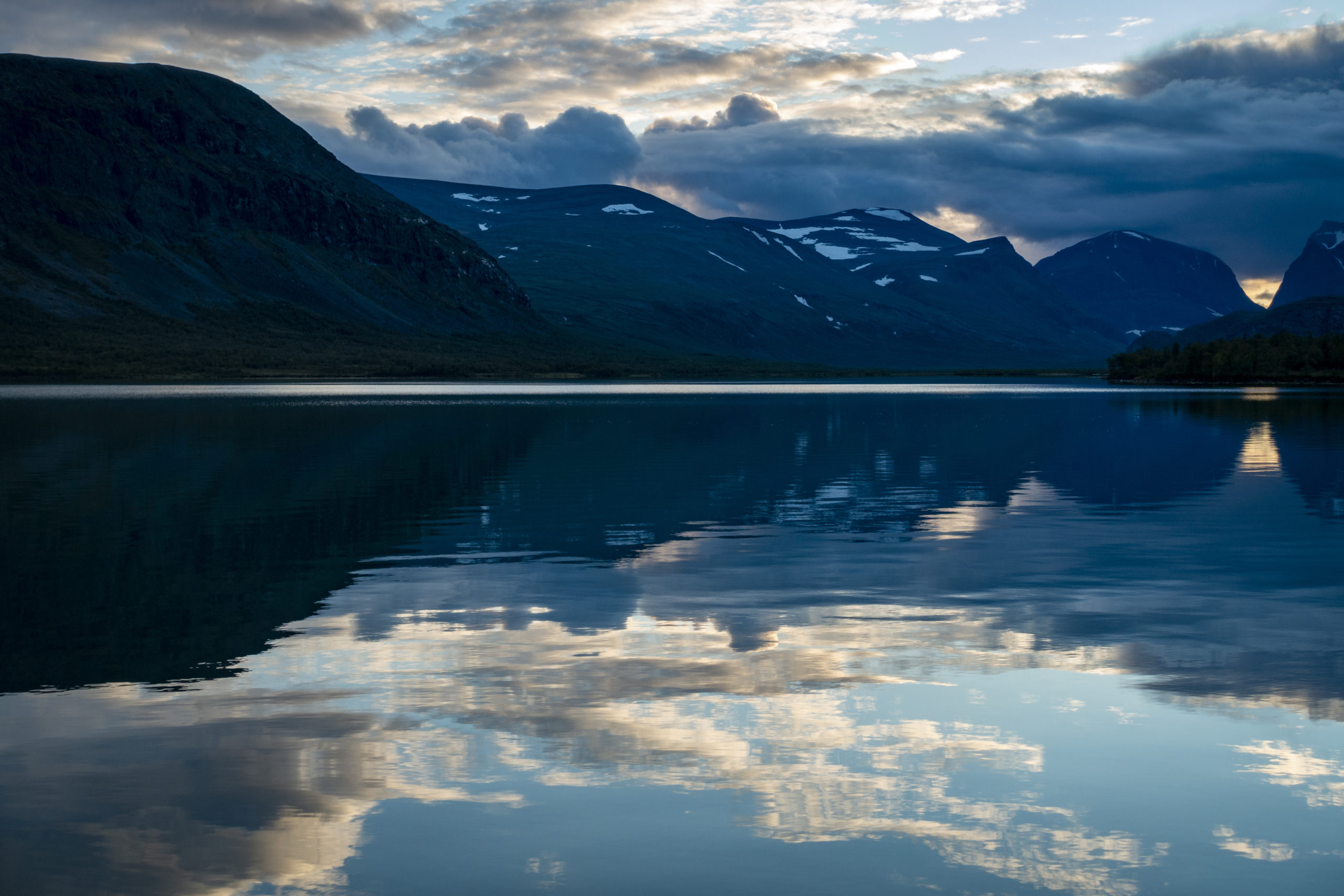
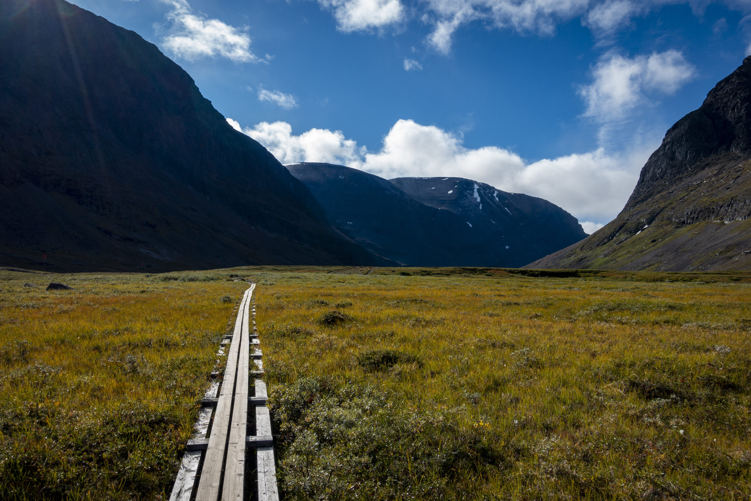
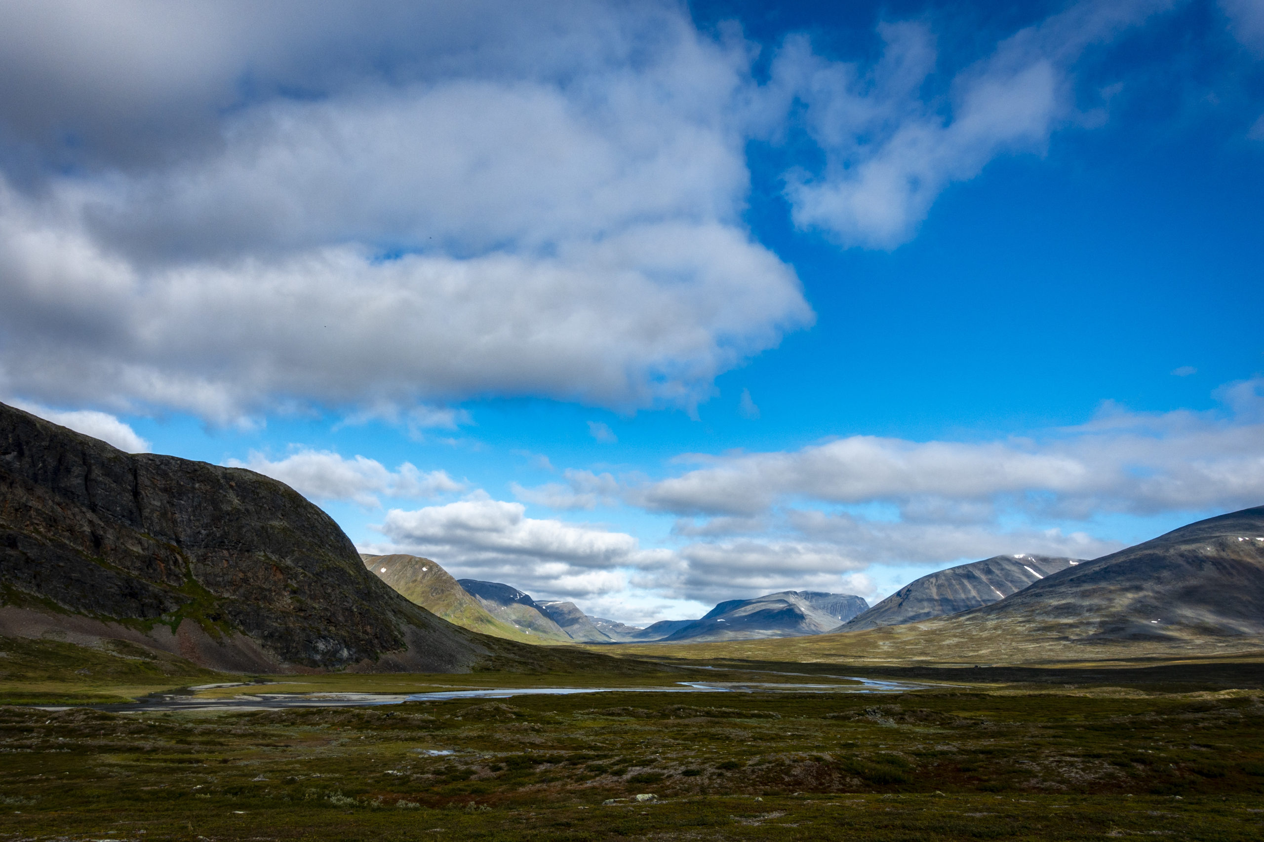
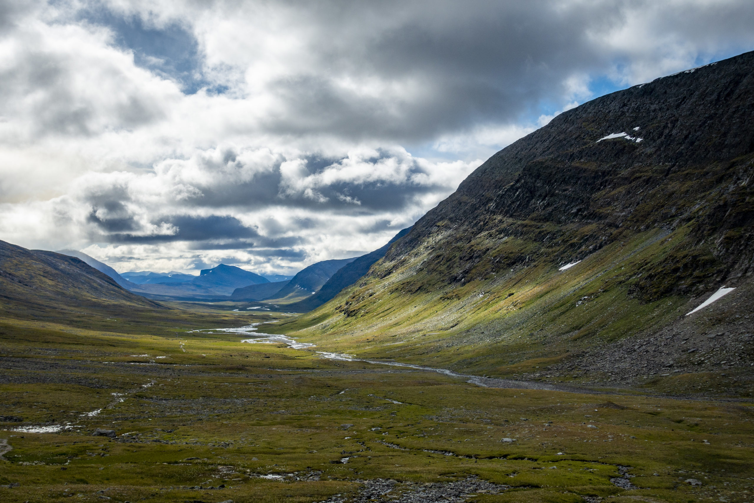
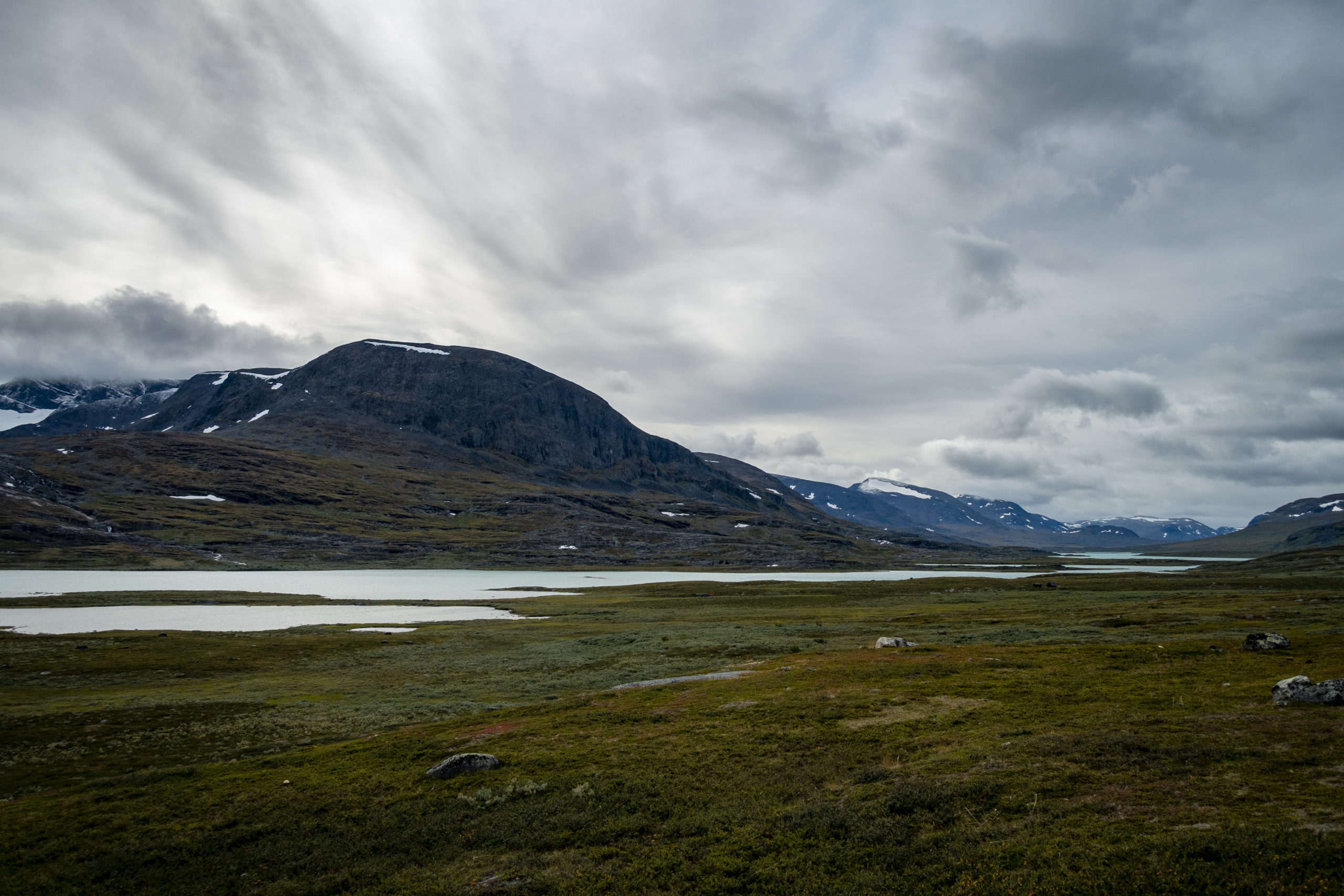
The decision the day before to continue the hike from Sälka was absolutely right for me, although I would not recommend it for others. The daily hike led over the Tjäktja Pass and then over a sea of stones to the Tjäktja Fjällstation. After another 13 km, I had reached the Alesjaure Fjällstation. Like the days before, many of the usual wooden boards were laid along the way, so the trail was easy to walk. Behind the mountain station at the turquoise Alesjaure lake I set up my camp for the night.
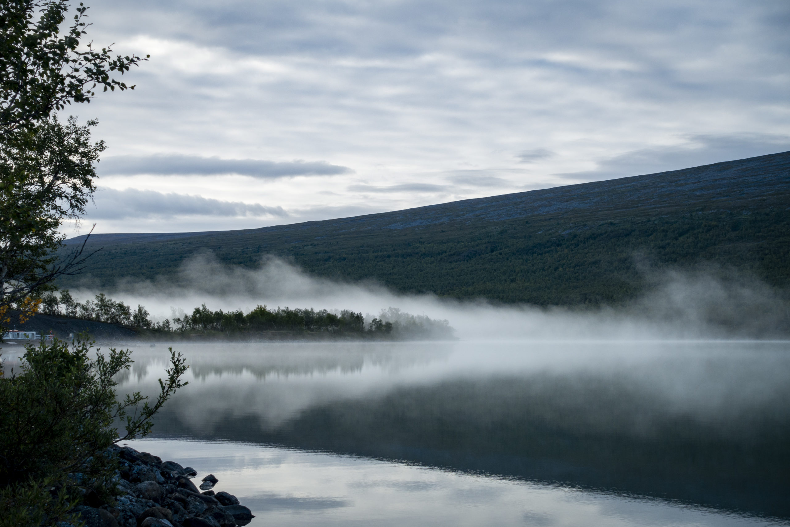
Day 7 – Alesjaure Fjällstation to Nissonjåkka, Abisko National Park (28 km)
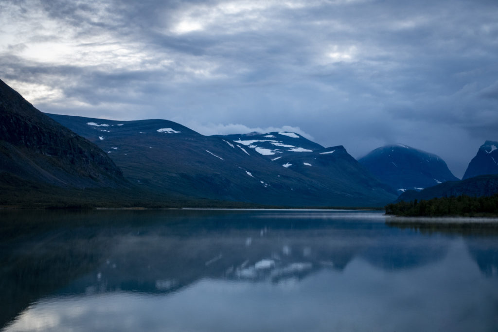
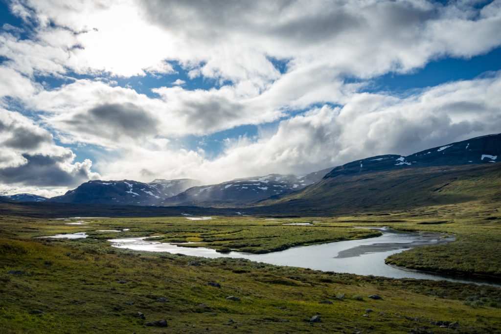
This morning my feet also froze quickly in the water and yoga was, again, out of the question. The route first passed a few lakes before I went over a rather unspectacular section towards Abisko National Park. Arriving above the national park, the view over it was fantastic and the Absikojaure Station was already in sight. There I arrived after 20 km at 4pm. I did not want to spend the night at the station, because that would have cost 30 €. (Coming from Alesjaure there is a free camping site just before the national park – but I didn’t take this opportunity). Since it was forbidden to camp anywhere else in the national park, I walked another 8 km through the national park to an official camping site. There I arrived very tired at 7pm and pitched my tent between many others in a small forest and next to a stream. To top off the last evening on the Kungsleden, I had a “Sunday dinner” this Monday as well.
Day 8 – Nissonjåkka, Abisko National Park to Abisko (4 km)
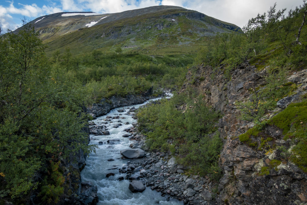
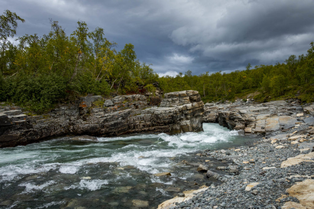
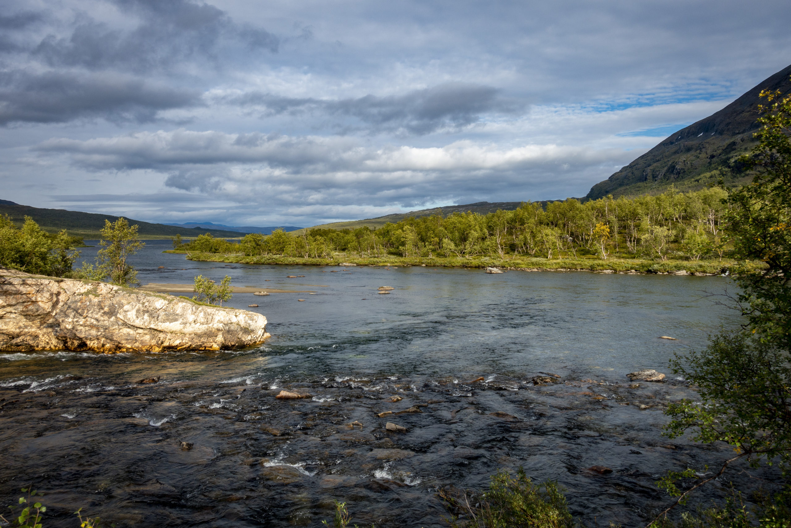
The next morning I was very relaxed for the last 4 km of the hike. The last kilometers through the national park were much more exciting than the kilometers from the day before. When arriving in Abisko, there was an impressive canyon to admire.
In search of a shower in Abisko I found a cheap hostel bed thanks to a friend from the trail, was able to buy some cheap chocolate and had an outstanding Halloumi, grilled vegetable and guacamole dinner.
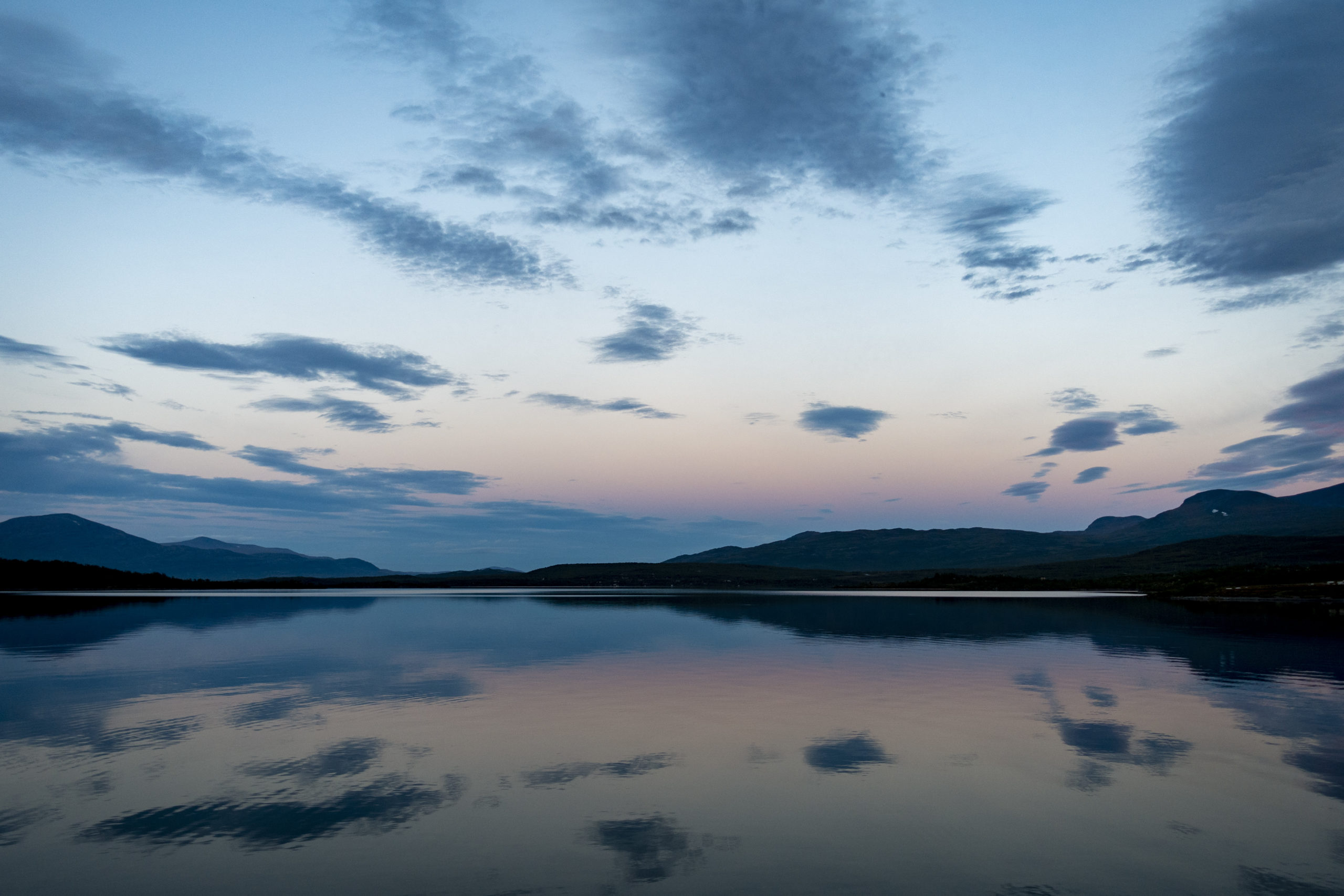
At the end of my last day in Sweden I found myself at the huge Torneträs lake. After 28 days, the place and time were perfect to give my trip through Sweden a proper farewell. Because “things are what they are, and whatever will be, will be”. (Jonas Jonasson)
Kind regards
me
Wow, you successfully made it through my first blog article. Thanks for reading.